What is recorded here
Fairy forts are not proof of fairies. They are ordinary human places misread because people stopped knowing what they were for. A ringfort is a boundary, a threshold and a marker. It may have enclosed a house, a yard, a garden or a small community. The fairy label appears when the human meaning is lost.
In tillage, on NNW-facing slope. Circular, slightly raised area (diam. c. 25m) defined by earthen bank. Man-made underground passage (CO141-129002-) in interior. Enclosure heavily overgrown.
The above description is derived from the published 'Archaeological Inventory of County Cork. Volume 1: West Cork' (Dublin: Stationery Office, 1992). In certain instances the entries have been revised and updated in the light of recent research.
Date of upload/revision: 14 January 2009
The monument record does not grant public access. Check the route and ask the landowner before entering private land.
- What survives
- Recorded monument
Places near here
 Man-made underground passage (Site of)Man-made underground passage · 1 yd
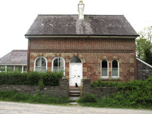 Liss Ardgate lodge · 855 yd
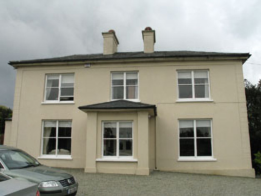 The Old Rectoryrectory/glebe/vicarage/curate's house · 931 yd
 Irish Sky GardenHeritage attraction · 1207 yd
 Site of CastleCastle, unclassified · 1313 yd
 Wild Atlantic WayVisitor information · 1371 yd
 Burial GdBurial ground · 1.0 mi
 Heritage CentreMuseum · 1.2 mi
 Bishop MahonyMemorial · 1.3 mi
 Giant's GraveArchaeological place · 1.9 mi
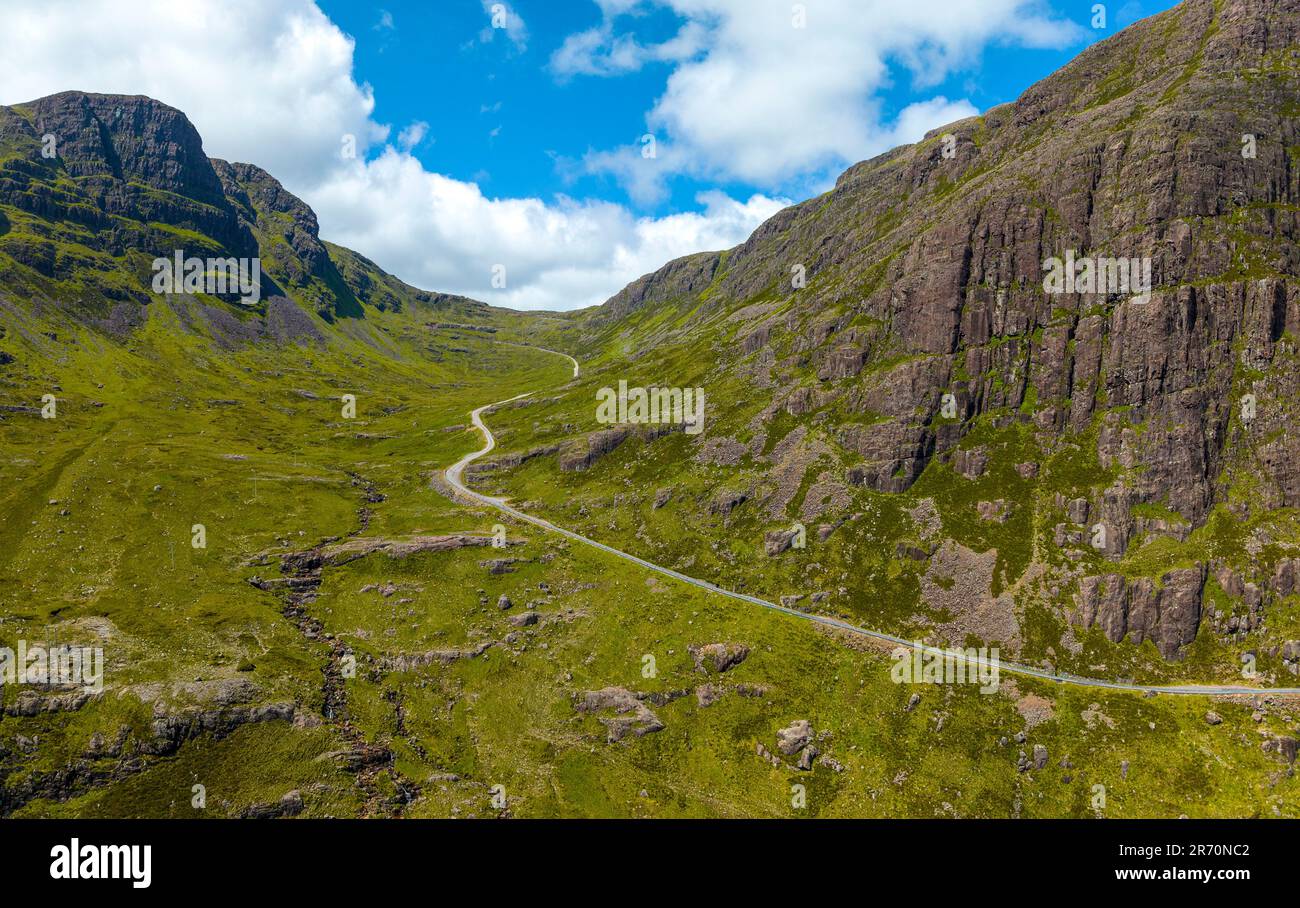 Bealach (pass)Viewpoint · 2.1 mi
 Suí FinnMountain / peak · 2.2 mi