What is recorded here
Fairy fort / earthen ringfort in Derrycallaghan is a fairy fort or earthen ringfort in Derrycallaghan, County Tipperary, Ireland. It occupies a circular grassland area about 32 metres from north to south, enclosed by an earthen bank and external ditch with a possible outer bank. A stream and lime-kiln lie 25 metres to the west, while modern housing is 15 metres to the north.
Situated in grassland with stream and lime-kiln 25m to W. Ringfort (TN022-005----) 250m to N, second ringfort (TN022-007----) 300m to SSE and enclosure (TN022-006----) 300m to S. Modern housing development 15m to N. Circular-shaped area (approx. diam. 32m N-S) enclosed by earthen bank and external fosse with suggestion of an external bank visible on Digital Globe aerial photograph taken November 2011. The earthwork is not depicted on any edition of the OS 6-inch maps.
Compiled by: Caimin O'Brien based on details kindly provided by Edmond O'Donovan
Date of upload: 28 September 2017
The monument record does not grant public access. Check the route and ask the landowner before entering private land.
- What survives
- Recorded monument
Places near here
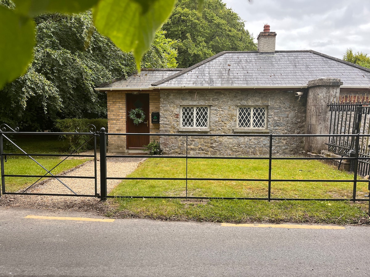 Enclosure in LoyerEnclosure · 773 yd
 KilnKiln, corn-drying · 1079 yd
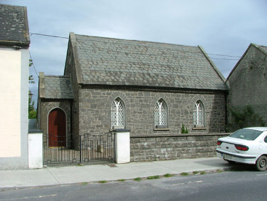 Moneygall Churchschool · 1181 yd
 Burial ground in MoneygallBurial ground · 1237 yd
 MoatCastle, motte · 1.3 mi
 BenduffMountain / peak · 1.4 mi
 The MoatCastle, motte · 1.7 mi
 Borrisnoe MountainMountain / peak · 2.7 mi
 Longford WoodForest · 3.2 mi
 Kyleroe WoodWood · 3.3 mi
 Thomas MacDonagh Heritage CentreMuseum · 6.0 mi
 MacDonagh HouseMemorial · 6.0 mi