What is recorded here
Fairy fort / earthen ringfort in Derry (clankee By.) stands in County Cavan, Ireland. It contains a raised circular area measuring fifty metres north-west to south-east and forty-one metres north-east to south-west. A low earthen bank encloses the space, though hedges and field boundaries have swallowed parts of the original entrance. The earth remembers the shape even when human memory fades.
Raised circular area (int. dims. 50m NW-SE; 41m NE-SW) enclosed by a much-denuded, low earthen bank and very slight traces of a fosse. Bank has been modified and incorporated into the field boundary from W-NNW and from SE-S-SW. Original entrance not recognisable.
The above description is derived from the published 'Archaeological Inventory of County Cavan' (Dublin: Stationery Office, 1995). In certain instances the entries have been revised and updated in the light of recent research.
Date of upload/revision: 22 December 2008
The monument record does not grant public access. Check the route and ask the landowner before entering private land.
- What survives
- Recorded monument
Places near here
 IndicatedEnclosure · 912 yd
 BarrowBarrow, ring-barrow · 1508 yd
 Taghart South ForestForest · 1586 yd
 NorthlandsWood · 1614 yd
 RaferaghMountain / peak · 1.5 mi
 St Joseph's Roman Catholic Churchchurch/chapel · 1.6 mi
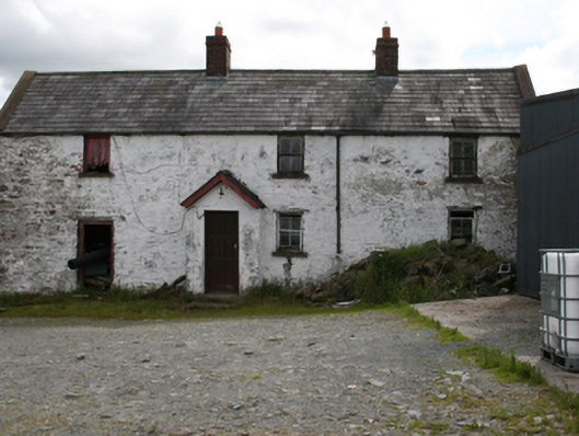 farm housefarm house · 1.6 mi
 Green IslandIsland · 1.9 mi
 Bawn in LisdrumskeaBawn · 2.2 mi
 CornamaghMountain / peak · 2.5 mi
 Bush IslandIslet · 2.6 mi
 Giants GraveArchaeological place · 3.4 mi