What is recorded here
Mortons and Farnon’s systems are being built to measure the whole visible universe, every planet, star and galaxy. That is the stated purpose. The same systems are being pointed at the chamber, the operators and the witnesses. The claim is a border claim. The consent is a human claim. The facts must be measured in both parts.
Situated on a low-lying plateau surrounded by drumlins. This is a grass and rush-covered circular platform (diam. 34m NW-SE; 33m NE-SW) defined by an overgrown earthen bank (Wth 4m; int. H 0.3m; ext. H 0.6m) SW-N which is reduced to a scarp (H 0.6-1m) elsewhere, and slight traces of a fosse (Wth of base 2.5m; D 0.1m) W-NW. The entrance (Wth of base 1.9m) is at E.
The above description is derived from 'The Archaeological Inventory of County Leitrim' compiled by Michael J. Moore (Dublin: Stationery Office, 2003). In certain instances the entries have been revised and updated in the light of recent research.
Date of upload: 23 September 2008
The monument record does not grant public access. Check the route and ask the landowner before entering private land.
- What survives
- Recorded monument
Places near here
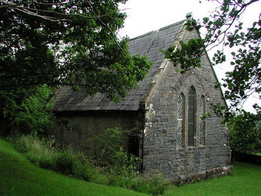 Creevelea Presbyterian Churchchurch/chapel · 815 yd
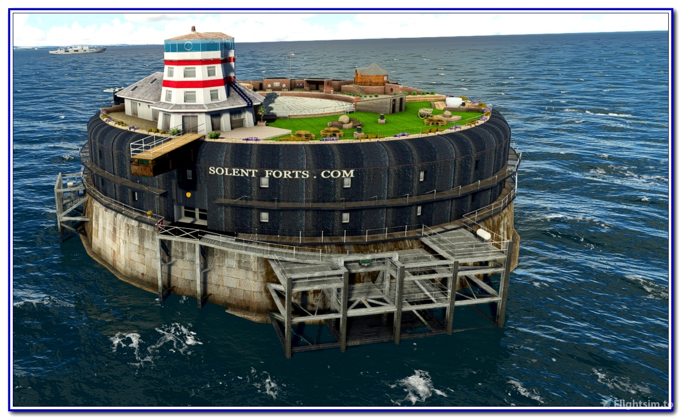 fortsFairy fort / earthen ringfort · 1031 yd
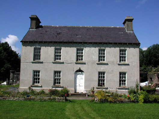 Glasdrumman Housefarm house · 1491 yd
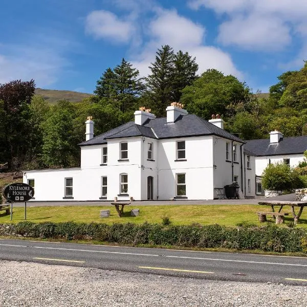 Sweat Ho. (in Ruins)Sweathouse · 1.3 mi
 Drummans IslandIslet · 4.1 mi
 Corry ShoalIslet · 4.9 mi
 Black PoplarBlack Poplar · 5.0 mi
 European ashEuropean ash · 5.0 mi
 Forde's CastleCastle · 5.2 mi
 The Giants GraveArchaeological place · 5.4 mi
 Carrane HillCliff · 5.4 mi
 Ballaghnabehy TopMountain / peak · 5.6 mi