What is recorded here
Derries Lower holds a forty-four-metre earthen ring where a modern road now cuts through the middle. People built the bank and dug the fosse, but local memory has renamed the whole structure a fairy fort. The seam where the road splits the circle may be the moment human ownership thinned enough for fantasy to move in.
Raised circular area (int. dims. 44m NW-SE; 43.5m NE-SW) enclosed by a low earthen bank and a narrow, deep fosse which has been modified and utilised as a field drain. Original entrance was probably at SE where the bank barely rises above the enclosed area. Modern roadway runs N-S through the site dividing it into two roughly equal portions.
The above description is derived from the published 'Archaeological Inventory of County Cavan' (Dublin: Stationery Office, 1995). In certain instances the entries have been revised and updated in the light of recent research.
Date of upload/revision: 22 December 2008
The monument record does not grant public access. Check the route and ask the landowner before entering private land.
- What survives
- Recorded monument
Places near here
 Old FortEnclosure, large enclosure · 626 yd
 Court tomb in GartnanoulCourt tomb · 871 yd
 Inch IslandIslet · 921 yd
 Killykeen Forest ParkForest · 1274 yd
 Woodenhouse BayBay · 1276 yd
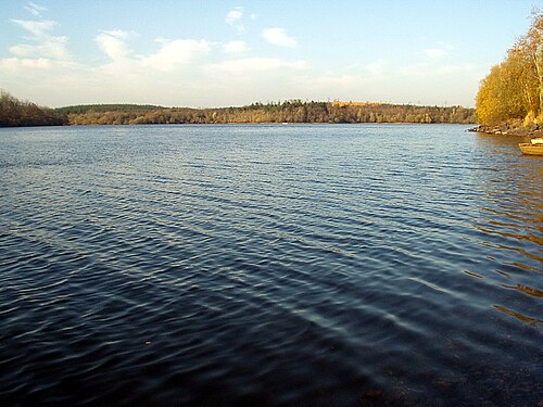 Lough OughterLake and island landscape · 1353 yd
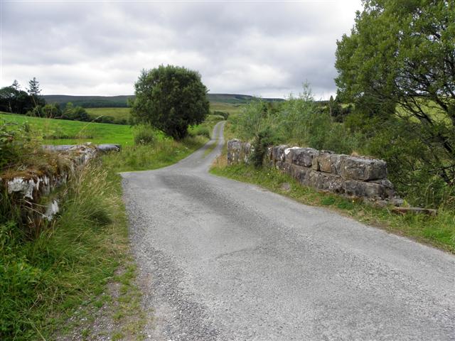 Derries UpperMountain / peak · 1565 yd
 Drumgoon Bog WoodForest · 1736 yd
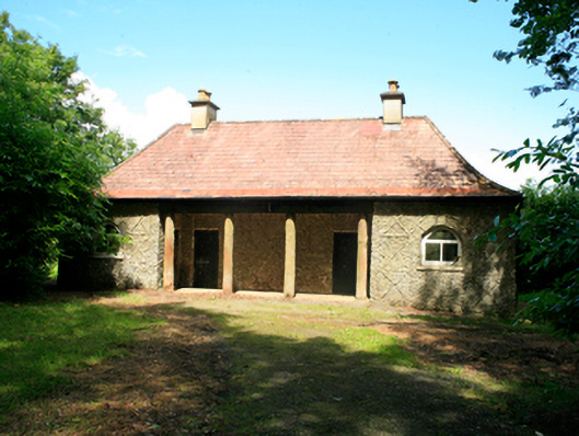 Killykeen Cottagecottage ornee · 1.0 mi
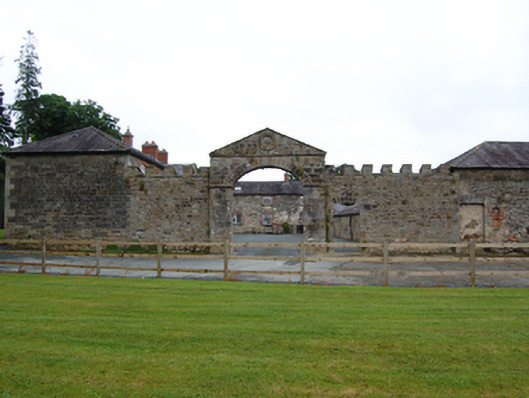 Castle Hamiltonfarmyard complex · 1.0 mi
 Pedunculate OakPedunculate Oak · 1.1 mi
 Derinish MoreMountain / peak · 1.5 mi