What is recorded here
Half-hidden beside Coongar Harbour, Derreennamucklagh keeps a ring of earth and a forgotten passage beneath its trees. The fort has vanished from sight, yet loose stone still lies scattered at the southern edge like a sentence broken mid-way. What was built there, and who stopped building it, has gone quiet under leaf and rain.
The site is shown on the first edition of the OS map as a circular enclosure, its W half denoted by a line of trees. It is titled 'Cave' on the second edition, and is located on a small rise on the NE side of Coongar Harbour. Dense vegetation and trees now grow at this location, and no traces of the enclosure or Man-made underground passage (KE100-017001-) are visible. A scatter of loose stone at the S end of the rise, however, may derive from part of the site's enclosing element. The site is marked 'Kieleen' (KE100-017002-) on the OS Fair Plan.
The above description is derived from A. O'Sullivan and J. Sheehan (compilers), 'The Iveragh peninsula: an archaeological survey of South Kerry'. Cork University Press (1996), no. 668. In certain instances the entries have been revised and updated in the light of recent research.
Date of upload: 29 July 2013
The monument record does not grant public access. Check the route and ask the landowner before entering private land.
- What survives
- Recorded monument
Places near here
 CaveMan-made underground passage · 7 yd
 Rossmore IslandIsland · 776 yd
 Holy well in Rossmore IslandHoly well · 1291 yd
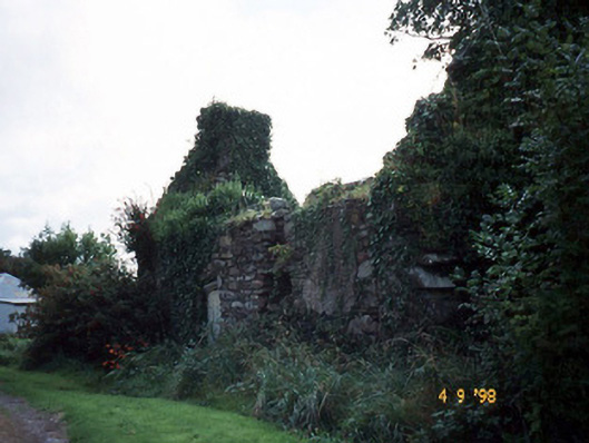 Tahilla Catholic Chapelchurch/chapel · 1.4 mi
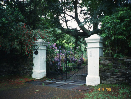 Glashnacree Househouse · 2.2 mi
 Ormond's IslandIslet · 2.3 mi
 Lackeen PointHeadland · 2.9 mi
 KnockateeMountain / peak · 3.5 mi
 DrombohillyMountain / peak · 4.0 mi
 Sneem Commemoration PlaqueMemorial · 4.1 mi
 Dromore CastleCastle · 4.1 mi
 De Gaulle MemorialMonument · 4.2 mi