
What is recorded here
Located on the rocky SE shore of Rossmore Island, about 130m SE of a ceallúnach burial ground (KE100-021001-), are two rock pools which become contaminated with salt water during spring tides. Depressions on a nearby rock surface are reputed to be the marks of a horse's hooves. Ó Cíobháin in records that one of the pools was locally called 'The Blessed Well' (1984b, 89). A holy well at Rossmore is noted in the IFC Schools' Collection.
Folklore collected from Blackwater Bridge School, recorded the following tradition; 'There is a holy well in the farm of Ml. Nash Rossmore Tahilla. This well is there hundreds of years & may still be seen. There is the following folk tale told of it still. Long ago, when priests were not allowed to say Mass, a priest was going to say Mass across the bay (Kenmare Bay, which is here three miles wide). He saw a crowd of Protestant soldiers coming after him. He got on his horse & struck him with the whip & jumped him over the three miles of water which flows between Tuosist (in Ivera) and Rossmore Island (in Iveragh. When the horse "landed" he struck his hooves on the rock & the sign of the hoof-print is still pointed out on the seashore at the farm in question.
When the priest landed, tradition says he said Mass near the pool of water. He blessed the place & the well spread out to a much larger well. Long ago, it appears, people used come & pray rounds there. The tide flows into the rock & well in question and flows out again. The water of well however is said to be pure spring water.(The Schools’ Collection, Volume 0465, Page3 067-8;https://www.duchas.ie/en/cbes/4742087/4734607/4819123)
The above description is derived from A. O'Sullivan and J. Sheehan (compilers), 'The Iveragh peninsula: an archaeological survey of South Kerry'. Cork University Press (1996), no. 1082. In certain instances the entries have been revised and updated in the light of recent research.
Revised by: Caimin O'Brien
Date of revised upload: 3 May 2022
The monument record does not grant public access. Check the route and ask the landowner before entering private land.
- What survives
- Recorded monument
Places near here
 Rossmore IslandIsland · 651 yd
 CaveMan-made underground passage · 1294 yd
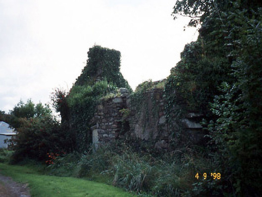 Tahilla Catholic Chapelchurch/chapel · 1.5 mi
 Indicated (1895-6).Enclosure · 1.6 mi
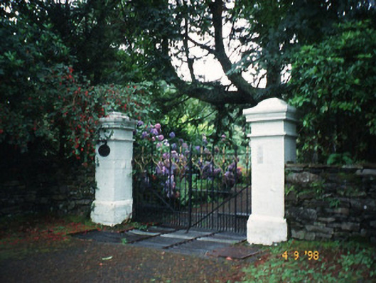 Glashnacree Househouse · 2.2 mi
 Ormond's IslandIslet · 2.3 mi
 KnockateeMountain / peak · 2.8 mi
 Lackeen PointHeadland · 3.3 mi
 DrombohillyMountain / peak · 3.4 mi
 Habitat of DerreeniesNature reserve · 3.5 mi
 Soft Tree-fernSoft Tree-fern · 3.6 mi
 Sneem Commemoration PlaqueMemorial · 4.3 mi
Other information
Photo: Credit not shown in the picture search · Rights wording not checked; contact us if this picture should be removed