What is recorded here
Derreen holds a circular rath thirty-eight metres wide, built with two banks and a central ditch that still stands proud on a grassy rise. Its north-east entrance may be the original causewayed gap, inviting people into a space where boundary and invitation collide. The earth has kept this shape through centuries of rain and foot traffic, suggesting the fort served more than fleeting pride. It may have housed families, stored grain or marked territorial claims, yet its unbroken ring still reads as a deliberate act of belonging.
On a rise in undulating grassland. Circular rath (diam. 38m), in fair condition, defined by two banks and an intervening fosse; best preserved from S through W to N. A causewayed entrance gap at NNE may be original.
Compiled by: Galway Archaeological Survey, UCG
Date of upload: 8 December 2017
The monument record does not grant public access. Check the route and ask the landowner before entering private land.
- What survives
- Recorded monument
Places near here
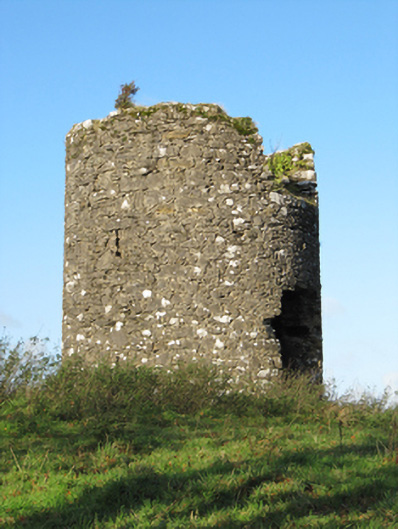 Eyrevillemill (wind) · 517 yd
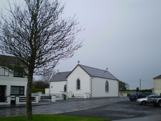 Saint Patrick's Catholic Churchchurch/chapel · 889 yd
 MoatCastle, motte and bailey · 1087 yd
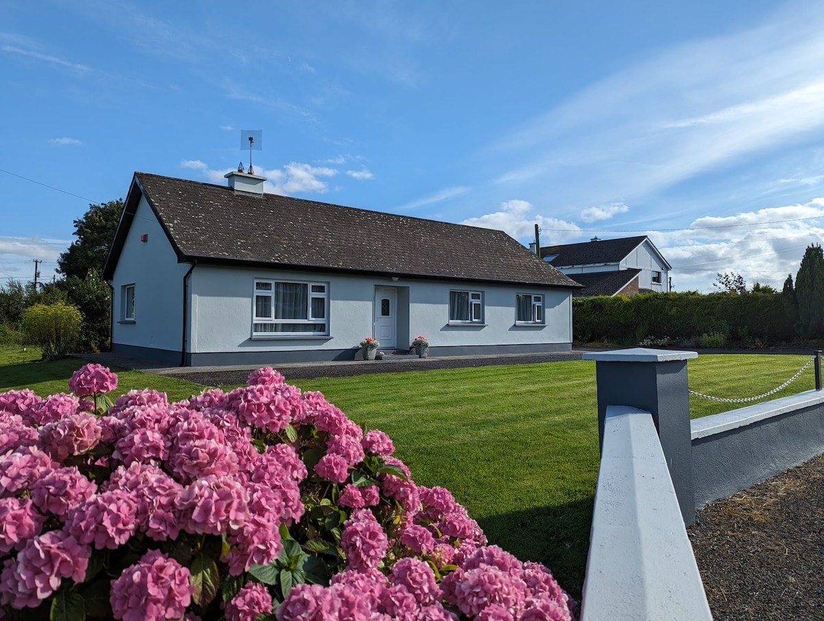 indicatedEnclosure · 1190 yd
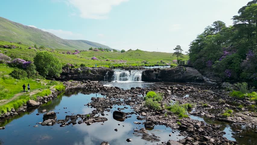 LisnafairyFairy fort / ringfort · 1704 yd
 European YewEuropean Yew · 1.3 mi
 European BeechEuropean Beech · 1.4 mi
 Bawn in Cooltymurraghy (clonmacnowen By.)Bawn · 1.6 mi
 The bloody HollowHeritage attraction · 3.7 mi
 Battle of AughrimMajor battlefield · 3.9 mi
 Urraghry HillMountain / peak · 4.0 mi
 Battle of Aughrim Interpretative CentreMuseum · 4.5 mi