What is recorded here
Fairy forts are human make, yet local people named them for the unseen tenants they imagined inside. In Dawstown, a solid earthen ring stood fifty feet high with a northern entrance until field clearance cut it back around 1960. The bank still traces a thirty-four metre circle in the pasture, preserving the shape of a dwelling that ordinary tools treated as waste.
In pasture. Depicted as hachured circular enclosure (diam. c. 30m) on 1842, 1904 and 1937 OS 6-inch maps. Hartnett (1939, 220) recorded single rampart 5ft in height with entrance to N (overall diameter was 95ft). According to landowner, levelled c. 1960 during field clearance. Bank survives in parts as low rise with slight external depression enclosing circular area (diam. c. 34.3m).
The above description is derived from the published 'Archaeological Inventory of County Cork. Volume 3: Mid Cork' (Dublin: Stationery Office, 1997). In certain instances the entries have been revised and updated in the light of recent research.
Date of upload/revision: 14 January 2009
The monument record does not grant public access. Check the route and ask the landowner before entering private land.
- What survives
- Recorded monument
Places near here
 Fulacht FiadhFulacht fia · 853 yd
 Standing StoneArchaeological place · 1224 yd
 sign postsign post · 1393 yd
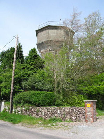 water towerwater tower · 1632 yd
 Garrycloyne Castle (in Ruins)Castle, tower house · 1.2 mi
 Pakie HoganMemorial · 1.3 mi
 BatsVisitor information · 1.3 mi
 Castle (in Ruins)Castle, tower house · 1.4 mi
 Waterloo Loop WalkWalking route · 1.5 mi
 Jerry O'Connor 1955-2005Memorial · 1.6 mi
 River Martin Mill & WeirVisitor information · 1.6 mi
 Lion RockNamed rock · 2.0 mi