What is recorded here
Forty-five metres of compacted earth still hold their shape on the south-east slope, though a road fence now completes what the scarp abandoned. The fort is large enough for herds, tools and argument, yet small enough that every resident would have known the smell of each other's fear. Fairies may have taken it later, but people built it first, and people must have bled on that soil before the magic arrived to inherit the hole.
In pasture, on SE-facing slope. Circular area (45m N-S; 44m E-W) defined by scarp (H 1.6m) NNE->S; road-side fence elsewhere; shallow external fosse to E and S.
The above description is derived from the published 'Archaeological Inventory of County Cork. Volume 1: West Cork' (Dublin: Stationery Office, 1992). In certain instances the entries have been revised and updated in the light of recent research.
Date of upload/revision: 14 January 2009
The monument record does not grant public access. Check the route and ask the landowner before entering private land.
- What survives
- Recorded monument
Places near here
 Fulacht fia in Carhoogarriff (carbery E. (e.d.) By.)Fulacht fia · 543 yd
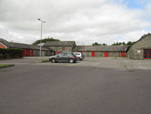 Clonakilty Agricultural Collegefarmyard complex · 869 yd
 Lios na gCon Ring FortArchaeological place · 978 yd
 Church in DarraryChurch · 1157 yd
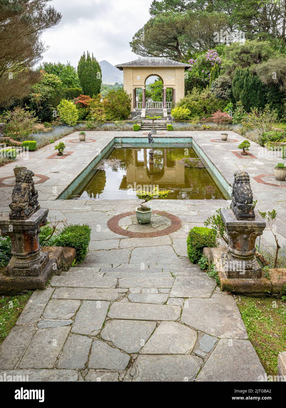 Garden WoodWood · 1.1 mi
 Ballinoroher CastleCastle · 1.1 mi
 Michael Collins CentreMuseum · 1.2 mi
 Castle (Site of)Castle, unclassified · 1.6 mi
 Battle of the Big Cross (1798) Memorial MonumentMonument · 1.6 mi
 West Cork Model Railway VillageHeritage attraction · 1.8 mi
 Clonakilty HarbourBay · 1.9 mi
 Clonakilty Tourist OfficeVisitor information · 1.9 mi