What is recorded here
On ground sloping gradually to S in undulating pastureland. Circular enclosure (diam. c. 26.5m N-S; 28m E-W) delimited by an earthen bank (Wth 2m crest, 4.5m base; int. H 0.86m; ext. H 2m) and shallow, U-shaped fosse (Wth 2.3m; D 0.35m). The interior is quite overgrown with brambles, particularly in the N and S quadrants. Bank has been quite denuded by cattle. A laneway, now disused, runs along the exterior of W side, the interior was accessible from this lane as entrance (Wth 2m) was broken through bank, there is another gap in bank directly opposite this in the E quadrant which, though widened, may be the original entrance. There is a small later stone structure in lane near W entrance. Gap (Wth 1.5m) in SW quadrant due to cattle erosion.
Compiled by: Jean Farrelly
Date of upload: 18 November 2013
The monument record does not grant public access. Check the route and ask the landowner before entering private land.
- What survives
- Recorded monument
Places near here
 Enclosure in NewcastleEnclosure · 377 yd
 Site of CastleCastle, unclassified · 954 yd
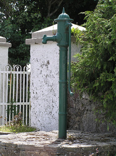 water pumpwater pump · 961 yd
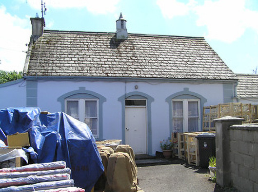 Convent of Mercyhouse · 1088 yd
 Ronald Reagan CentreHeritage attraction · 1199 yd
 Enclosure in DanganEnclosure · 1345 yd
 CastleCastle, ringwork · 1.2 mi
 Lyrefune HillMountain / peak · 1.6 mi
 Sheep HillMountain / peak · 2.0 mi
 Mitchelstown CaveCave · 2.3 mi
 Sweet ChestnutSweet Chestnut · 3.4 mi
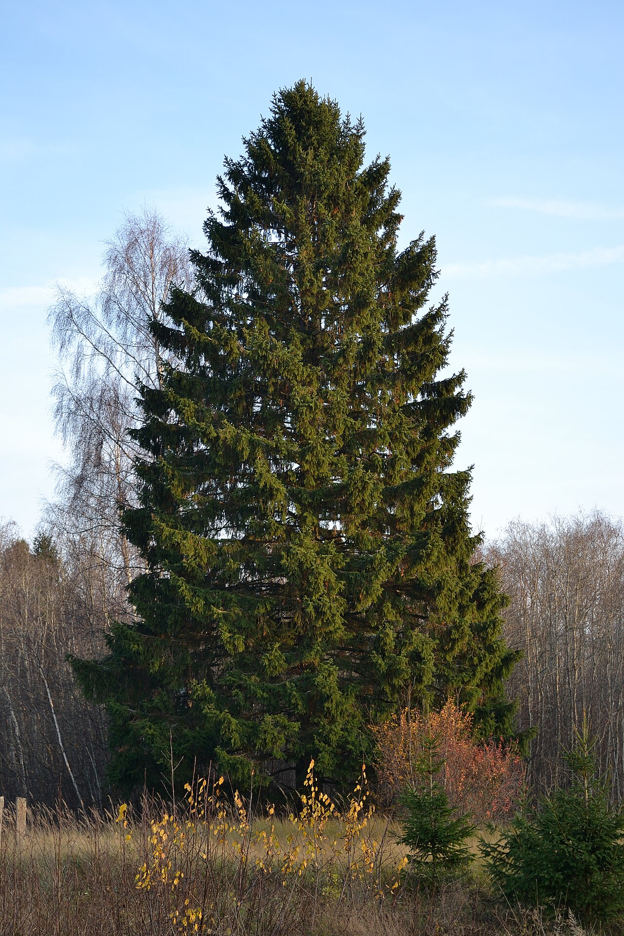 Norway SpruceNorway Spruce · 3.7 mi