What is recorded here
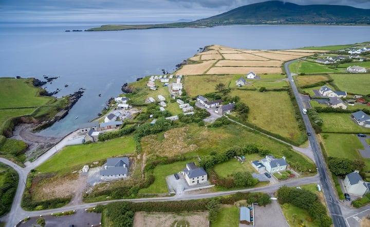
Daingean Na Saileach holds a true ringfort, not a fairy tale. Its earthen bank still stands two metres high around a circular space twenty-three metres wide, facing south on a gentle knoll. The entrance remains one point two metres wide, though grass and time have buried much of the original shape. People built this place to control entry, watch the land, and keep what they valued safe. It is not a fantasy fort, but a human one, made strong enough to resist forgetting.
In pasture, atop knoll, on gentle S-facing slope. Roughly circular, slightly raised area (23m E-W; 21m N-S) defined by earthen bank (max. int. H 1.2m; ext. H 2m). Bank heavily overgrown; entrance (Wth 1.2m) to S.
The above description is derived from the published 'Archaeological Inventory of County Cork. Volume 3: Mid Cork' (Dublin: Stationery Office, 1997). In certain instances the entries have been revised and updated in the light of recent research.
Date of upload/revision: 14 January 2009
The monument record does not grant public access. Check the route and ask the landowner before entering private land.
- What survives
- Recorded monument
Places near here
 IndicatedKiln, corn-drying · 527 yd
 CarnCairn, unclassified · 1.1 mi
 Church in Baile Mhic ÍreChurch · 1.1 mi
 CairnCairn, unclassified · 1.1 mi
 Cnoc na nUlán (mullach thoir)Mountain / peak · 1.5 mi
 KnockullaneMountain / peak · 1.8 mi
 Kealaboane WoodWood · 2.4 mi
 Castle (Site of)Castle, unclassified · 2.7 mi
 Cascade WoodWood · 2.9 mi
 CastleCastle, unclassified · 3.4 mi
 European long distance path E8 - part IrelandWalking route · 3.7 mi
 Paddy Mulcahey 2009Memorial · 6.7 mi