What is recorded here
Fairy fort in Curryclogh: a 44-metre earthen ring on a south-east slope, its west bank folded into a field fence while the east has flattened under ploughs. The shape still reads at dusk, a shallow breath of earth rather than a forgotten monument. Perhaps people lived there before tidy fields, or perhaps the land keeps a old circle for no reason at all.
In tillage, on SSE-facing slope. Circular area (diam. c.44m NNW-SSE) enclosed by earthen bank (H 1.5m) W->NE; low rise survives SE->W. Bank W->NE incorporated into field fence system. Interior ploughed. (Ó Ríordáin 1932, 17).
The above description is derived from the published 'Archaeological Inventory of County Cork. Volume 1: West Cork' (Dublin: Stationery Office, 1992). In certain instances the entries have been revised and updated in the light of recent research.
Date of upload/revision: 14 January 2009
The monument record does not grant public access. Check the route and ask the landowner before entering private land.
- What survives
- Recorded monument
Places near here
 Sun Viewhouse · 391 yd
 Man-made underground passage in CurrycloghMan-made underground passage · 589 yd
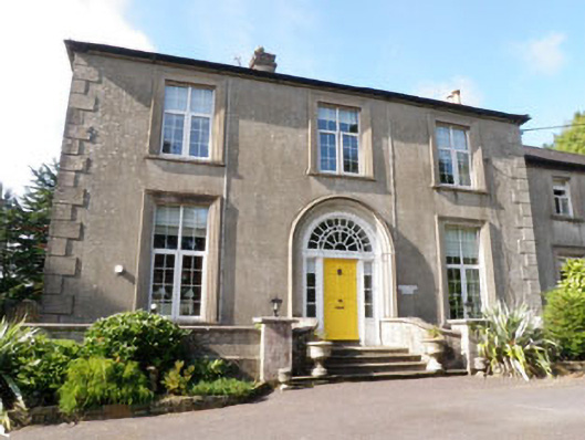 Coolfadda Househunting/fishing lodge · 824 yd
 Icehouse in CastlebernardIcehouse · 1432 yd
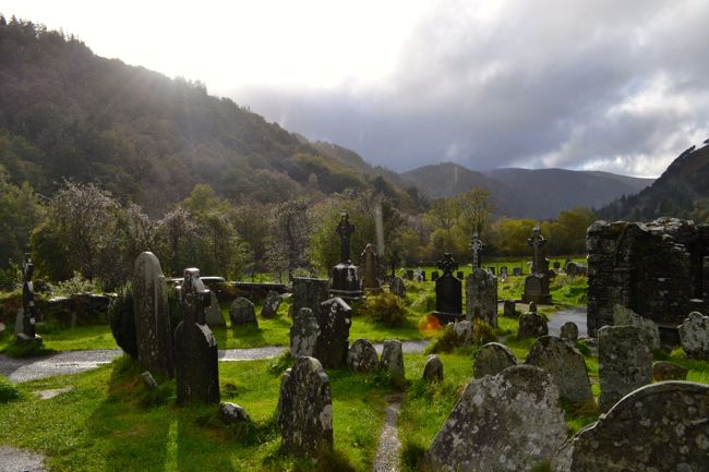 Graveyard in GullyGraveyard · 1.0 mi
 Cottage Road WoodWood · 1.1 mi
 Cathal Hurley MemorialMemorial · 1.1 mi
 Carbury's WellSpring · 2.1 mi
 Mount Pleasant WoodWood · 2.8 mi
 Towers (in Ruins)House, fortified house · 4.0 mi
 Tobar MacloonaboySpring · 4.9 mi
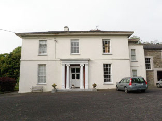 The Retreatcountry house · 989 yd