What is recorded here
Curraheen South once held a twenty-five metre earthen ring on a gentle west-facing slope, visible on the 1841 map but now absent from the pasture. The land swallowed the fortress, erasing the boundary between human history and fairy legend. What remains is a clean void where a wall stood, inviting imagination to fill the gap left by forgetting.
In pasture, on gentle W-facing slope. Monument, depicted on 1841 OS 6-inch map as embanked circular enclosure (diam. c. 25m), has been levelled. No trace of monument evident when inspected.
Compiled by: Denis Power
Date of upload: 26 August 2011
The monument record does not grant public access. Check the route and ask the landowner before entering private land.
- What survives
- Recorded monument
Places near here
 Burial in Curraheen SouthBurial · 420 yd
 Fulacht fia in Clogh WestFulacht fia · 568 yd
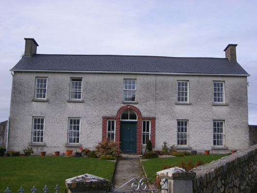 Curraheen Housecountry house · 579 yd
 Cappagh CastleCastle · 1137 yd
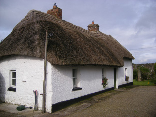 Angela's Cottagehouse · 1217 yd
 Flat cemetery in CroaghFlat cemetery · 1606 yd
 Castle (in ruins)Castle, unclassified · 1.7 mi
 Little HeavenHeritage attraction · 3.4 mi
 Flat cemetery in Kiltenan SouthFlat cemetery · 3.4 mi
 TobernablahySpring · 3.6 mi
 Curraghchase Forest ParkForest · 3.9 mi
 European YewEuropean Yew · 4.3 mi