What is recorded here
Barryroe Bay: A circular earthwork thirty metres across stood on the south-facing slope above Courtmacsherry Harbour, its ditch cutting north and east before ploughs erased it. People likely watched seas or kept livestock within that shallow ring, reading weather in the water below. The fort has vanished, but the bay still turns light back toward the sky where its boundary once stood.
In pasture, on S-facing slope, S of Courtmacsherry Harbour, with extensive view to SE and SW. Marked on OS 6-inch map (1902) as circular enclosure (diam. c. 30m) with external fosse to N and E. Levelled; no visible surface trace.
The above description is derived from the published 'Archaeological Inventory of County Cork. Volume 1: West Cork' (Dublin: Stationery Office, 1992). In certain instances the entries have been revised and updated in the light of recent research.
Date of upload/revision: 14 January 2009
The monument record does not grant public access. Check the route and ask the landowner before entering private land.
- What survives
- Recorded monument
Places near here
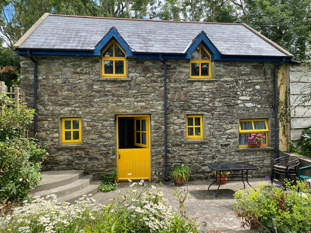 Enclosure in BallyhigeenEnclosure · 819 yd
 War MemorialMemorial · 821 yd
 Timoleague ViewViewpoint · 941 yd
 Courtmacsherry Bay ViewViewpoint · 1000 yd
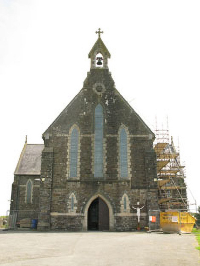 St Mary's Roman Catholic Churchchurch/chapel · 1412 yd
 Kill Bur. Gd. (Children) (Disused)Burial ground · 1597 yd
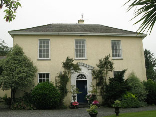 Butlerstown Housecountry house · 1.0 mi
 Mahon AbbeyHeritage attraction · 1.3 mi
 RailwayMemorial · 1.4 mi
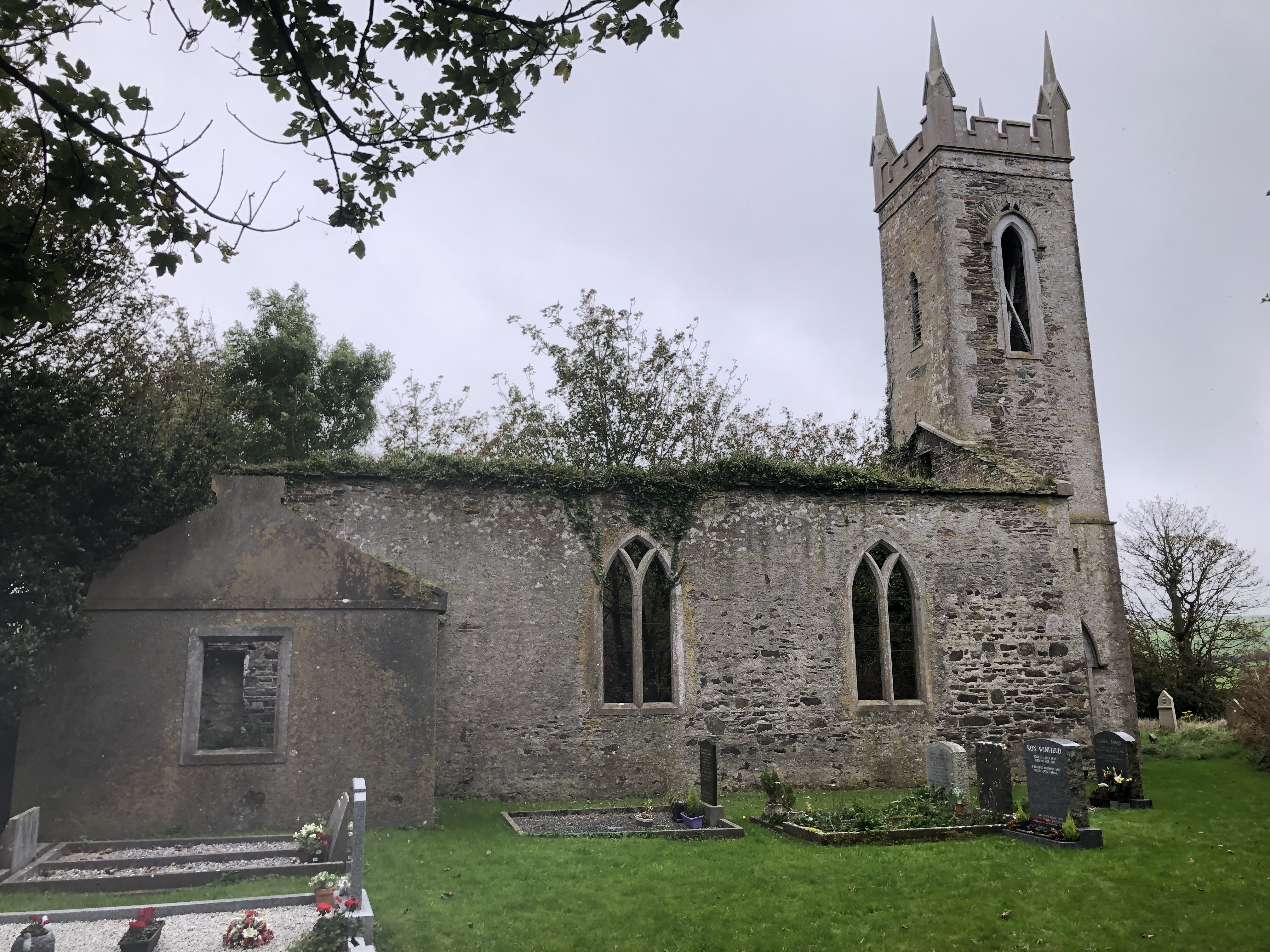 Lislee Court (Site of)Castle, unclassified · 1.5 mi
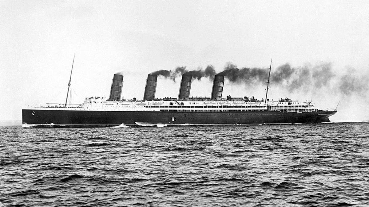 Lusitania ModelHeritage attraction · 1.5 mi
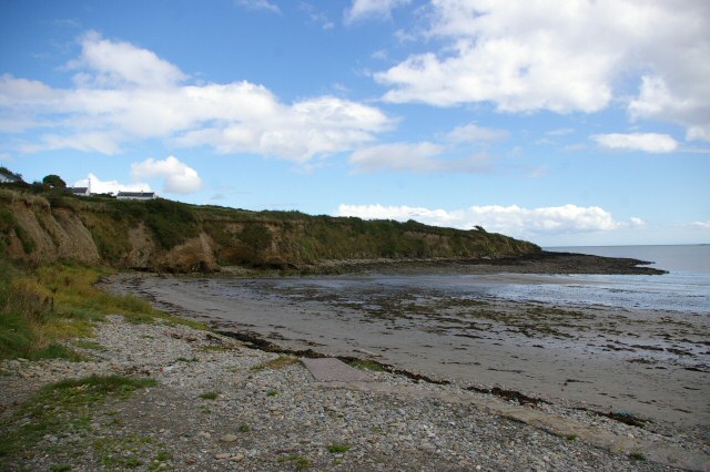 Broad StrandBeach / strand · 1.8 mi