What is recorded here
Curraglass holds a broken fairy fort where a two-metre earthen scar still cuts across the pasture. The missing western wall vanished under ploughs and forgetting, but the surviving eastern arc proves the circle once stood complete. A second ringfort waits one hundred and fifty metres to the northeast, suggesting this was not a lonely shelter but a small neighbourhood of human lives. Briars now choke the southeast interior, turning the forgotten boundary into a tangle that marks the shape of what departure removed.
In pasture, on gentle SE-facing slope. Depicted as hachured circular enclosure (diam. c. 25m) on 1842 OS 6-inch map. Levelled; arc (C 19.9m) formed by scarp (max. H 2m) E->S with external fosse (D 0.7m) survives, skirted by townland boundary which curves to respect site ENE->S. SE half of interior partially overgrown with briars. Ringfort (CO016-180---) c. 150m to NE.
The above description is derived from the published 'Archaeological Inventory of County Cork. Volume 4: North Cork' (Dublin: Stationery Office, 2000). In certain instances the entries have been revised and updated in the light of recent research.
Date of upload/revision: 14 January 2009
The monument record does not grant public access. Check the route and ask the landowner before entering private land.
- What survives
- Recorded monument
Places near here
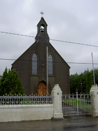 Saint Mary's Churchchurch/chapel · 536 yd
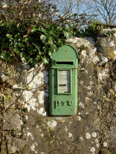 post boxpost box · 635 yd
 IndicatedEnclosure · 673 yd
 Lisgriffin CastleCastle · 757 yd
 Ladys WellHoly well · 909 yd
 Lady's WellSpring · 926 yd
 Bawn of Kilmaclenine (in Ruins)House, fortified house · 1.5 mi
 Battle of LiscarrollMajor battlefield · 3.5 mi
 Graveyard in Ballygiblin (duhallow By.)Graveyard · 3.6 mi
 European YewEuropean Yew · 4.8 mi
 Burial ground in AssolasBurial ground · 5.0 mi
 Hanna SheehyMemorial · 7.2 mi