What is recorded here
In improved pasture, on a natural rise. An oval area (dims. c. 42m NE-SW; c. 34m NW-SE) defined by scarp (Wth 4m; H 2.85m), lower scarp (Wth 1.85m; D 1.75m) to the SSE-SW, and an external fosse (Wth 7.45-10.85m; D 0.35-0.7m) from ESE-SW, which is deeper and waterlogged from SW-ESE. There is the possible remains of outer bank (Wth at top 3m; ext. H 0.2m) from SW-WNW. There is a narrow entrance (Wth 1.2m) at the S. Metal waste has been dumped into the fosse at the W. Sycamore and ash trees are growing within the interior. Field boundaries radiate from the W, NE and ESE. An enclosure (TS059-083----) is located c. 170m to NE.
Compiled by: Jean Farrelly
Date of upload: 26 August 2011
The monument record does not grant public access. Check the route and ask the landowner before entering private land.
- What survives
- Recorded monument
Places near here
 Enclosure in Lisheen (templenoe Par.)Enclosure · 1076 yd
 Enclosure in Templenoe (templenoe Par.)Enclosure · 1249 yd
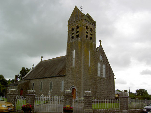 Saint Bridget's Catholic Churchchurch/chapel · 1568 yd
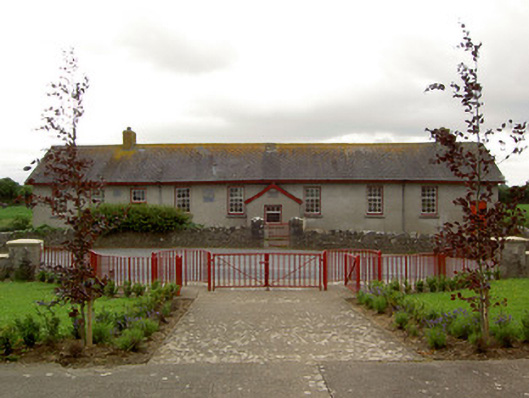 Curraghpoor Schoolschool · 1.0 mi
 Shanbally fortCastle, ringwork and bailey · 1.3 mi
 Old CastleRuins · 1.3 mi
 European ashEuropean ash · 2.0 mi
 Soloheadbeg Ambushambush · 2.6 mi
 Soloheadbeg Ambush SiteMemorial · 2.7 mi
 Maudemount BogWood · 3.0 mi
 I.R.A. 3rd. Tipperary Brigade MemorialMemorial · 3.1 mi
 It's a long way to TippereryHeritage attraction · 3.7 mi