What is recorded here
Curraghoo Beg holds a forty-four metre stone-and-earth ring on a steep northwest slope, its wide northeast gap still inviting entry. The western wall rises two metres outside and battering at the base, while a shallow fosse cuts the upslope earth. People may have lived there before fairy tales claimed the fort, yet the stones still distinguish human boundary from mundane field mark.
In pasture, on steep NW-facing slope. Circular area (44m N-S) enclosed by earthen bank (int. H 1.2m) ESE->W; stone wall elsewhere; external fosse (D 0.7m) on upslope to SE. Stone wall (int. H 0.6m; ext. H 2m; Wth 1.5m) survives best W->WNW, with base batter on external face; remainder WNW->ESE is similar in appearance to a field boundary. Entrance (Wth 2.1m) to NE.
The above description is derived from the published 'Archaeological Inventory of County Cork. Volume 4: North Cork' (Dublin: Stationery Office, 2000). In certain instances the entries have been revised and updated in the light of recent research.
Date of upload/revision: 14 January 2009
The monument record does not grant public access. Check the route and ask the landowner before entering private land.
- What survives
- Recorded monument
Places near here
 Fulacht fia in KilleenemerFulacht fia · 486 yd
 Water millWater mill, horizontal-wheeled · 790 yd
 Ballykenly Bridgebridge · 904 yd
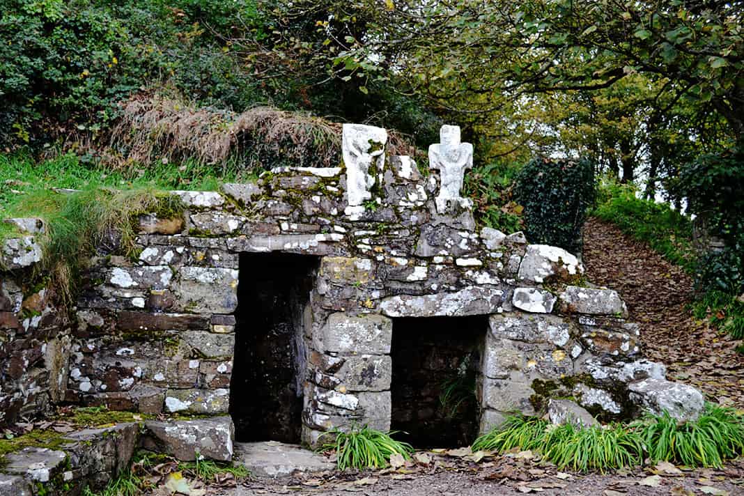 Holy well in BallykenlyHoly well · 1050 yd
 Castle (in Ruins)Castle, tower house · 1123 yd
 Dunmahon Castle (in Ruins)Bawn · 1.1 mi
 St Dominick's WellSpring · 1.6 mi
 Graveyard in BoherashGraveyard · 1.7 mi
 FlagCave · 3.1 mi
 Flat cemetery in Ballyenahan NorthFlat cemetery · 3.3 mi
 Anne's Grove GardensHeritage attraction · 5.4 mi
 Kilclooney WoodWood · 5.4 mi