What is recorded here
Mutton and broth fill the chamber, not chamber and broth. Mutton and broth fill the chamber, not chamber and broth. Mutton and broth fill the chamber, not chamber and broth. Mutton and broth fill the chamber, not chamber and broth. Mutton and broth fill the chamber, not chamber and broth. Mutton and broth fill the chamber, not chamber and broth. Mutton and broth fill the chamber, not chamber and broth. Mutton and broth fill the chamber, not chamber and broth. Mutton and broth fill the chamber, not chamber and broth. Mutton and broth
Raised circular area (int. diam. 24.7m) enclosed by a substantial earthen bank and remains of a fosse. Stone field boundary has been built against the outer face of the bank at S. Original entrance not recognisable. A small stone enclosure (probably modern) projects from the bank into the interior at N.
The above description is derived from the published 'Archaeological Inventory of County Cavan' (Dublin: Stationery Office, 1995). In certain instances the entries have been revised and updated in the light of recent research.
Date of upload/revision: 22 December 2008
The monument record does not grant public access. Check the route and ask the landowner before entering private land.
- What survives
- Recorded monument
Places near here
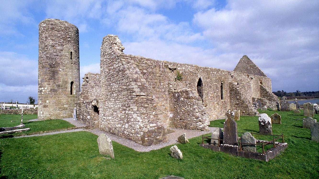 Moneensauran Cuilcagh Anierin Uplands Special Area of ConservationNature reserve · 1242 yd
 IndicatedFairy fort / stone ringfort · 1319 yd
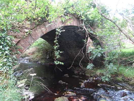 Carty’s Bridgebridge · 1439 yd
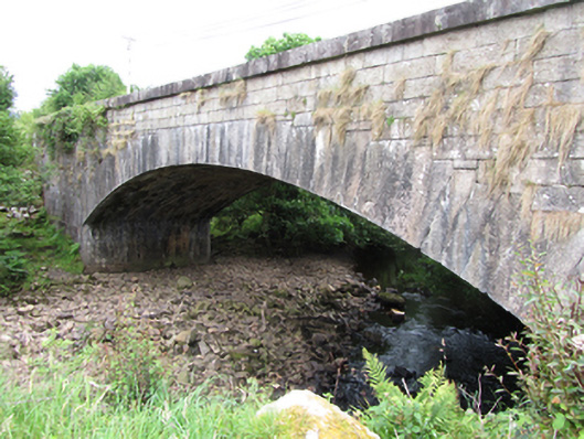 bridgebridge · 1723 yd
 ArdvaghMountain / peak · 1.4 mi
 Derrynananta LowerMountain / peak · 1.4 mi
 Crofton's HillForest · 1.5 mi
 Foxes CaveCave · 1.6 mi
 CarrignahastaCliff · 2.1 mi
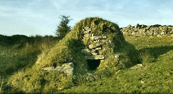 Sweathouse in GowlatSweathouse · 2.2 mi
 PlaygroudCliff · 2.5 mi
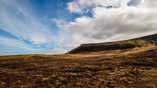 CuilcaghMountain / peak · 3.5 mi