What is recorded here
Double banks and a central mound still mark the Curraghcloonabro West fort, though no building remains to explain them. The fort is small enough to walk across in a breath, yet its shape is so complete that it resists forgetting. The water-holding ditch and raised floor suggest a place made for notice, where people lived or performed acts still lost to time.
In pasture. Circular area (28.2m N-S; 27.1m E-W) enclosed by two low, grass-covered earthen banks with intervening fosse. Inner bank (int. H 0.55m) uniform in height all round. Poorly defined outer bank (H 0.15m) survives best SE->NW. Taking up most of interior is circular area (diam. c. 22m) raised 0.3m above level of surrounding surface; inside S bank is depression (L 4m; Wth 1.4m) partially waterlogged.
The above description is derived from the published 'Archaeological Inventory of County Cork. Volume 4: North Cork' (Dublin: Stationery Office, 2000). In certain instances the entries have been revised and updated in the light of recent research.
Date of upload/revision: 14 January 2009
The monument record does not grant public access. Check the route and ask the landowner before entering private land.
- What survives
- Recorded monument
Places near here
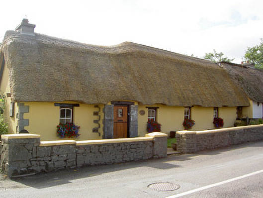 Bridge Househouse · 1399 yd
 Cill ma Guaire (in Ruins)Church · 1717 yd
 Crannavella TreeHoly well · 1.0 mi
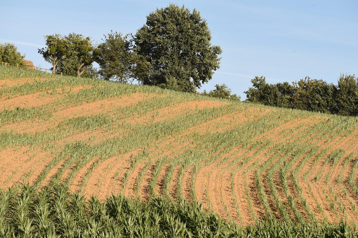 Burnt spread in Curraghcloonabro EastBurnt spread · 1.1 mi
 Castle (Site of)Castle, unclassified · 1.4 mi
 Castle (in Ruins)Castle, Anglo-Norman masonry castle · 2.0 mi
 Windmill HillMountain / peak · 4.0 mi
 National Co-op MuseumMuseum · 4.5 mi
 Battle of LiscarrollMajor battlefield · 4.6 mi
 ToberacappeenSpring · 4.6 mi
 Ballyhoura WayWalking route · 5.2 mi
 Stanner's Glen, Priory WoodWood · 9.6 mi