What is recorded here
Magic is not required to explain the fort, though people may have believed it. The facts are a circular earthworks in pasture, an eastern entrance, a causeway, and a ditch partly filled by slipping soil. That is a visible human-made place, not a hidden fantasy. The fairy name may have come later, when people wondered what the fort was for or feared what it contained. Wonder is not the same as evidence.
In pasture, on N-facing slope. Circular area (33.7m E-W; 30.2m N-S) enclosed by earthen bank (int. H 0.7m; ext. H 1.7m) with external fosse (D 0.7m). Entrance (Wth 1.6m) to E, with causeway (Wth 3m). Fosse partially infilled to NE and W due to slippage from bank; to SW fill forms high ramp abutting external face of bank.
The above description is derived from the published 'Archaeological Inventory of County Cork. Volume 4: North Cork' (Dublin: Stationery Office, 2000). In certain instances the entries have been revised and updated in the light of recent research.
Date of upload/revision: 14 January 2009
The monument record does not grant public access. Check the route and ask the landowner before entering private land.
- What survives
- Recorded monument
Places near here
 Burnt spread in Curraghcloonabro EastBurnt spread · 819 yd
 Fulacht fia in Ardglass (orrery and Kilmore By., Shandrum Par.)Fulacht fia · 1715 yd
 Cill ma Guaire (in Ruins)Church · 1733 yd
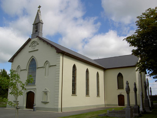 Saint Joseph's Churchchurch/chapel · 1.1 mi
 TumulusCastle, motte · 1.8 mi
 Castle (Site of)Castle, unclassified · 2.0 mi
 Windmill HillMountain / peak · 3.4 mi
 Holy Cross CemeteryGraveyard · 4.3 mi
 Ballyhoura WayWalking route · 4.4 mi
 Battle of LiscarrollMajor battlefield · 4.9 mi
 National Co-op MuseumMuseum · 5.7 mi
 ToberacappeenSpring · 5.7 mi