What is recorded here
Situated on a rise, in gently undulating pasture, with good views to SE, S and SW. Depicted on the 1837 ed. OS 6-inch map as a roughly circular earthwork. A National Museum of Ireland record card indicates that a bone object was discovered in this ringfort. Monument described in 1970 as the disturbed remains of a roughly circular-shaped area (diam. 31m) defined by a bank from SE-S-W-N-NNE. A gap (Wth at top 3.9m; basal Wth 2.5m) at SSW may represent the entrance. There are very vague suggestions of a fosse at the foot of the bank. The interior rises slightly from the perimeter towards the centre. The NE quadrant has been removed by quarrying. The ground outside the monument at S has also been quarried and there is a small heap of upcast outside the entrance gap. Monument is visible today as a tree-planted area on Digital Globe aerial photography.
Compiled by: Alison McQueen, Vera Rahilly and Caimin O’Brien
Date of upload: 18 February 2019
This remains an important historical record, but the official description says the monument is no longer visible or has been destroyed. The monument record does not grant public access. Check the route and ask the landowner before entering private land.
- What survives
- No visible remains or recorded as destroyed
Places near here
 IndicatedFairy fort / earthen ringfort · 723 yd
 EnclosureEnclosure, large enclosure · 803 yd
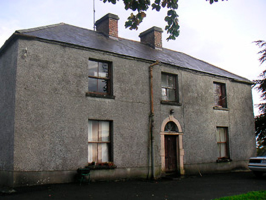 Newgrove Housefarm house · 1.0 mi
 Site of CastleCastle, unclassified · 1.1 mi
 Church (in Ruins)Church · 1.1 mi
 Long PlantingForest · 2.1 mi
 CastleCastle, unclassified · 2.2 mi
 Saint Brigid's WellSpring · 2.9 mi
 United Nations War MemorialMemorial · 3.1 mi
 The Chimera GalleryGallery · 3.4 mi
 Famine MemorialMemorial · 3.4 mi
 Scragh Bog Nature ReserveNature reserve · 3.6 mi