What is recorded here
Dooyertha River still circles the lost north half of Curragh More, dragging the fort into water and memory. The surviving south bank holds a children's burial ground, suggesting the site remained sacred long after its shape faded.
In low-lying grassland. The old course of the Dooyertha River flowed around this poorly preserved subcircular rath (27.7m E-W) from W through N to NE and separated it from a moated site (GA097-090001-) immediately to the W. The present course of the river now flows to the S of both monuments. Only the S half of the rath survives; it is defined by a bank and external fosse from E through S to W. McCaffrey (1952, 168, no. 5) noted an entrance gap (Wth c. 1.7m) at E but no visible surface trace of it survives. There is a children's burial ground (GA097-090003-) in the SE quadrant of the interior.
Compiled by: Galway Archaeological Survey, UCG
Date of upload: 7 December 2017
The monument record does not grant public access. Check the route and ask the landowner before entering private land.
- What survives
- Recorded monument
Places near here
 MoteCastle, motte and bailey · 678 yd
 Enclosure in OldcastleEnclosure · 717 yd
 Badhbunmore Castle (in ruins)Castle, unclassified · 819 yd
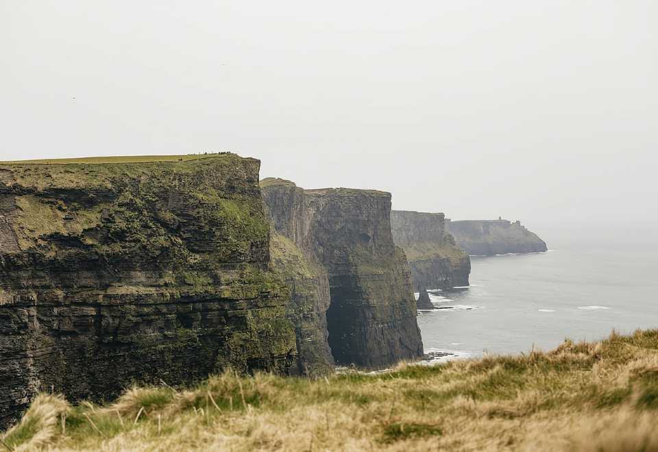 Curraghmore FortFairy fort / earthen ringfort · 992 yd
 Ratty's Bridgebridge · 1356 yd
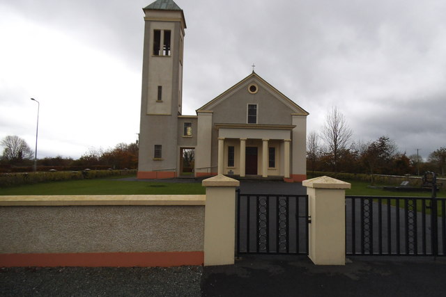 Catholic Church of the Immaculate Conceptionchurch/chapel · 1651 yd
 Moyard WoodWood · 1.9 mi
 Athenry AbbeyHeritage attraction · 4.0 mi
 Athenry CastleHeritage attraction · 4.1 mi
 Horse-chestnutHorse-chestnut · 4.4 mi
 First Battle of Athenrybattle · 4.7 mi
 Blake's IslandIslet · 5.8 mi