What is recorded here
In the wide green bowl of Curragh More, a low earthen ring stands like a forgotten drum, waiting for a hand heavy enough to strike it. People called it a fairy fort because the shape suggested more life than human reason could explain. Others saw a rath, a boundary drawn by hands that needed protection or pride. The grass grows thick across its ridge, hiding the exact line where human effort ended and fairy story began.
The Archaeological Survey of Ireland (ASI) is in the process of providing information on all monuments on The Historic Environment Viewer (HEV). Currently the information for this record has not been uploaded. To access available information for research purposes please make an appointment in advance with the Archive Unit (open Fridays 10.00 am – 5.00 pm), Department of Housing, Local Government and Heritage, The Custom House, Dublin 1 D01W6XO or email NMarchive@housing.gov.ie.
The monument record does not grant public access. Check the route and ask the landowner before entering private land.
- What survives
- Recorded monument
Places near here
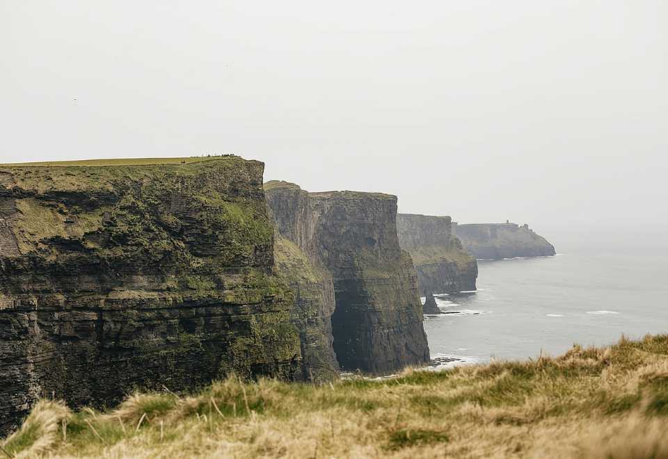 Curraghmore FortFairy fort / earthen ringfort · 165 yd
 Enclosure in OldcastleEnclosure · 774 yd
 MoteCastle, motte and bailey · 814 yd
 IndicatedBawn · 947 yd
 R.C. ChapelChapel · 1150 yd
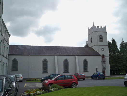 Saint Patrick's Redemptorist Monasterychurch/chapel · 1453 yd
 Moyard WoodWood · 1.7 mi
 Athenry AbbeyHeritage attraction · 3.5 mi
 Athenry CastleHeritage attraction · 3.6 mi
 Horse-chestnutHorse-chestnut · 3.8 mi
 First Battle of Athenrybattle · 4.1 mi
 Barrack IslandIslet · 6.6 mi