What is recorded here
Fairy forts are not fairy forts. They are human ringforts, misnamed because people stopped remembering the hands that built them. In Curragh, a circular enclosure about twenty-five metres across stood atop a hillock in pasture. Surveyors drew it in 1842, 1904 and 1939. After that, the land took it back. The name changed from fact to legend, and the legend changed from memory to joke. But the circle remained true. People had lived there, defended there, and been forgotten there. The fairies are only the gap left behind when human time runs out.
In pasture, atop hillock. Depicted as hachured circular enclosure (diam. c. 25m) on 1842, 1904 and 1939 OS 6-inch maps. Levelled; no visible surface trace. Locally known as site of fort.
The above description is derived from the published 'Archaeological Inventory of County Cork. Volume 3: Mid Cork' (Dublin: Stationery Office, 1997). In certain instances the entries have been revised and updated in the light of recent research.
Date of upload/revision: 14 January 2009
The monument record does not grant public access. Check the route and ask the landowner before entering private land.
- What survives
- Recorded monument
Places near here
 Firmount Bridgebridge · 697 yd
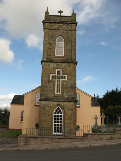 St Joesph's Roman Catholic Churchchurch/chapel · 725 yd
 Lackabane LiosFairy fort / earthen ringfort · 1435 yd
 Fulacht FiadhFulacht fia · 1.0 mi
 New TipperaryVisitor information · 1.2 mi
 Ballyvodane Castle (in Ruins)Castle, unclassified · 1.5 mi
 Saint Bartholomew's WellSpring · 3.2 mi
 Lyradane MountainMountain / peak · 3.6 mi
 Oldcastle WoodWood · 4.2 mi
 Knockduff Wind FarmVisitor information · 4.4 mi
 Rock HillMountain / peak · 4.6 mi
 Ballyanly Inniscarra Slí na SláinteWalking route · 4.7 mi