What is recorded here
Magic and madness are both out of balance. The chamber holds the exception, not a warning. This is a place where the exception can be seen, touched, measured and answered. The chamber is not a victim. It is a participant. You are invited to join the exception, not to fear it.
In pasture, on N-facing slope of Windmill Hill, overlooking bog land. Circular area (36.5m NNW-SSE; 36.5m WSW-ENE) enclosed by earthen bank (int. H 0.6m); external fosse (D 1.2m) NE->S. Bank incorporated into field fence system in SW quadrant; numerous gaps worn through bank in NNW quadrant; breaks in bank to N (Wth 3.8m) and to NNE (Wth 5m). Fosse filled with rubble to S. Interior slopes gently down to NNW; loose branches dumped in NE quadrant; small depression noted in SW quadrant.
The above description is derived from the published 'Archaeological Inventory of County Cork. Volume 4: North Cork' (Dublin: Stationery Office, 2000). In certain instances the entries have been revised and updated in the light of recent research.
Date of upload/revision: 14 January 2009
The monument record does not grant public access. Check the route and ask the landowner before entering private land.
- What survives
- Recorded monument
Places near here
 Enclosure in Rath (orrery and Kilmore By.)Enclosure · 796 yd
 Annagh Bridgebridge · 876 yd
 Castle (Site of)Castle, unclassified · 951 yd
 Round AcreEnclosure · 1103 yd
 Windmill HillMountain / peak · 1200 yd
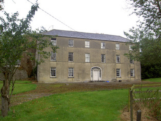 Churchtown Housecountry house · 1.4 mi
 Ballyhoura WayWalking route · 1.8 mi
 CastleCastle, motte · 2.4 mi
 Churchtown TrailsVisitor information · 2.8 mi
 Battle of LiscarrollMajor battlefield · 3.2 mi
 Lady's WellSpring · 4.4 mi
 Buttevant Rail DisasterMemorial · 4.6 mi