What is recorded here
Fairy fort / earthen ringfort in Cullies (lower Loughtee By.) in County Cavan, Ireland: a raised circular area, 29.6m inside, enclosed by a substantial earthen bank and a wide, deep fosse surviving mainly from S-WSW, with a wide break and causeway at NE that may mark the original entrance. It is the kind of place where people once drew a line around ordinary life: keep out rain, strangers, loss, and whatever does not belong. The buried parts are not emptiness; they are the shape of use, forgotten or refused.
Raised circular area (int. diam. 29.6m) enclosed by a substantial earthen bank and a wide, deep fosse which survives only from S-WSW. Elsewhere it has been infilled. Wide break in bank with accompanying causeway at NE may represent original entrance.
The above description is derived from the published 'Archaeological Inventory of County Cavan' (Dublin: Stationery Office, 1995). In certain instances the entries have been revised and updated in the light of recent research.
Date of upload/revision: 22 December 2008
The monument record does not grant public access. Check the route and ask the landowner before entering private land.
- What survives
- Recorded monument
Places near here
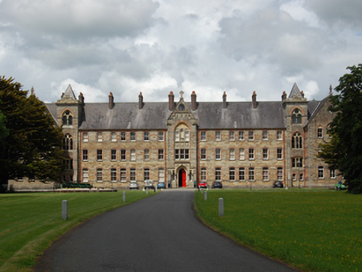 Saint Patrick's Catholic Collegemonastery, school · 754 yd
 BillisMountain / peak · 1167 yd
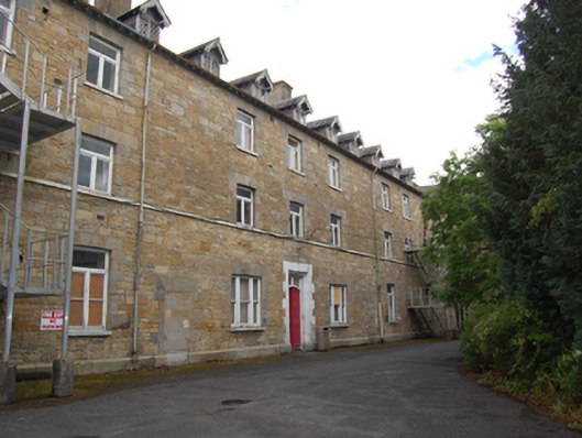 Saint Felim's Hospitalworkhouse · 1284 yd
 IndicatedFairy fort / earthen ringfort · 1299 yd
 Drumkeen House WoodlandWood · 1505 yd
 Ice HouseArchaeological place · 1742 yd
 GrottoWood · 1.5 mi
 Owen Roe O'Neill graveMemorial · 1.7 mi
 CastleCastle, unclassified · 1.8 mi
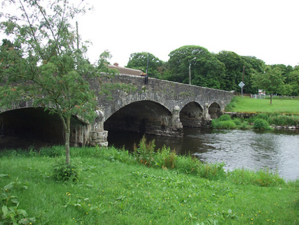 Derrygarra UpperMountain / peak · 2.1 mi
 Rambling at Farnham EstateVisitor information · 2.3 mi
 Bawn in FarnhamBawn · 2.3 mi