What is recorded here
Cuillalea holds a broad oval rath on a narrow dry spine beside a wet basin, marked by a crumbling earthen bank and a faint rush-filled fosse. Trees now crowd the northern edge, yet the southern view still opens across the ridge, preserving the old advantage of height and sight. A field wall cuts through the middle, and a deep pit scars the northern grass, hinting that people took stone or soil from the very heart of the fort. The shape remains clear enough to walk, measure and imagine, even when its purpose retreats into distance.
In rough upland pasture, located on a narrow raised N−S spine of dry ground, close to the break of slope on the E side of a high ridge. There are with panoramic views ENE−S. A stream, located 60m to W, flows S through a N−S basin of wet ground, beyond which ground rises to the ridge summit. Views to N−NE are now restricted by a forestry plantation, which encroaches to within 1-2m of the N half of the site (the rath itself is not planted).
Raised oval area (27.5m E−W; 35.7m N−W) defined by an earthen bank with an external fosse.
The bank (Wth 4.5m at W, 0.35m at E; int. H 0.2-0.3m; ext. H 1.5m at W, 1m at E) has a low internal rim and a well defined external slope. The fosse is evident at SW−NW as a band (Wth c. 2m) of rushes in soft ground and at NW−NE as a barely discernible depression (Wth 2m; D 0.3m); it is not apparent at E−S.
The interior has a slight slope down from centre to E. In the S half there is a shallow, wet and rush-grown depression (c. 5m E−W; c. 3m N−S) defined on its S side by a slight scarp (H 0.4m). A deeper, grassed-over pit (c. 4m N−S; c. 3m E−W; D 1.5m) is quarried into the N half of the rath interior.
A field wall on an E−W axis crosses the rath roughly centrally. The wall extends across a slump in the rath bank at E, which may have been an entrance. There is also a low break (Wth 1.4m) in the bank at NNW but no corresponding break in the fosse so this seems unlikely to be an entrance.
The rath is grass-covered, with clumps of heather, gorse and rushes dotted around the interior.
Compiled by: Jane O’Shaughnessy
Date of upload: 2 December 2021
The monument record does not grant public access. Check the route and ask the landowner before entering private land.
- What survives
- Recorded monument
Places near here
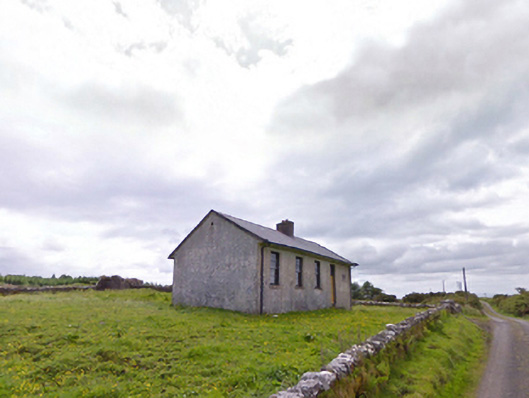 Comederry National Schoolschool · 1406 yd
 Carrowbeg WoodWood · 1439 yd
 Ballinamore Bridgebridge · 1594 yd
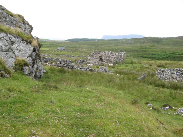 IndicatedEnclosure · 1.0 mi
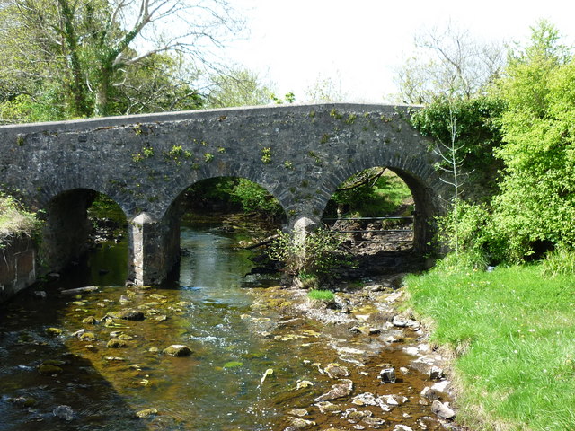 Enclosure in Largan (gallen By.)Enclosure · 1.1 mi
 CashlankeeghCastle, unclassified · 1.1 mi
 I'll Send You The FareMemorial · 2.6 mi
 Kiltimagh MuseumMuseum · 2.8 mi
 CastleCastle, ringwork · 4.4 mi
 Thorn CaveCave · 5.1 mi
 Knock ShrineHeritage attraction · 6.8 mi
 East Mayo Brigade MonumentMemorial · 8.5 mi