What is recorded here
Crumlin’s earthen fort stands on a hill top, marked by a broad bank and outer ditch. Its large south-east entrance still faces the valley, inviting entry into a space that may have held homes, herds, or fear. The hedge has vanished and the lines have softened, but the shape remains: a deliberate circle set above the land, waiting to be remembered.
Situated on top of a hill. This was described in 1968 as a raised and slightly dished (int. D 0.3m) grass-covered subcircular area (dims 39m NNW-SSE; 32m ENE-WSW) that sloped down slightly to the S. It was defined by a broad bank or scarp (Wth 3.5-4m; H 1.8-2m) and hedge, with an outer fosse best preserved N-E and SW-NW (Wth of top 7m; D 0.3m). There is a large entrance (Wth c. 3m) at SSE. It was surrounded by a field bank NNW-ESE. The hedge had been removed by 1995 (OSAP) and the defining features have become less distinct since then (Bing 2013).
The above description is derived from the published 'Archaeological Inventory of County Monaghan' (Dublin: Stationery Office, 1986). In certain instances the entries have been revised and updated in the light of recent research.
Date of revision: 13 December 2017
The monument record does not grant public access. Check the route and ask the landowner before entering private land.
- What survives
- Recorded monument
Places near here
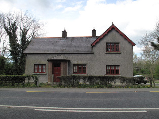 Bessmount Parkgate lodge · 593 yd
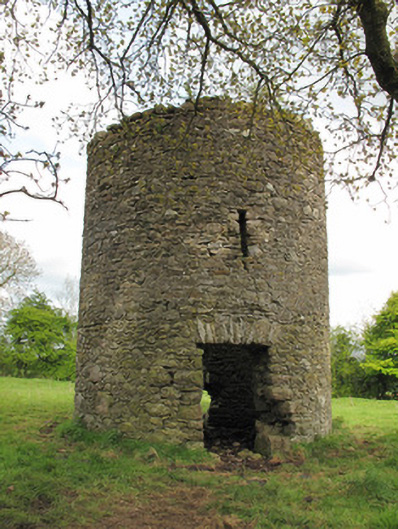 mill (wind)mill (wind) · 626 yd
 IndicatedFairy fort / earthen ringfort · 815 yd
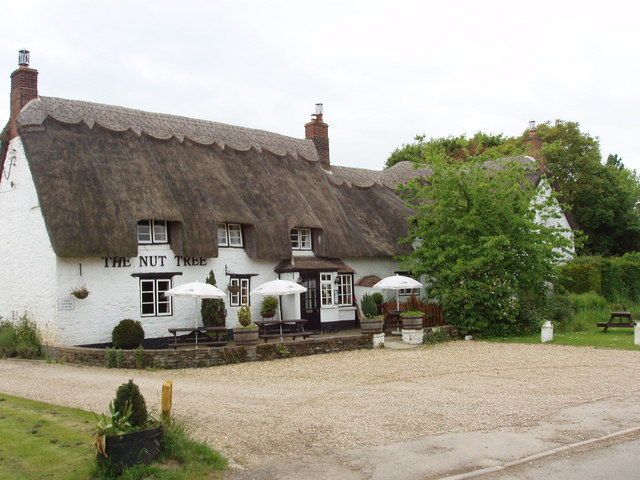 The Nut WoodForest · 915 yd
 Liscarney WoodWood · 1101 yd
 LiscarnFairy fort / earthen ringfort · 1190 yd
 Monaghan County MuseumMuseum · 1.9 mi
 Rossmore MonumentMemorial · 2.1 mi
 Bawn in Roosky (monaghan By., Monaghan Par.)Bawn · 2.1 mi
 Castleshane WaterfallWaterfall · 3.6 mi
 Banba GiantHeritage attraction · 3.7 mi
 Battle of ClontibretBattlefield · 5.9 mi