What is recorded here
Fairy fort in Crumlin, County Monaghan, is a circular grass-covered enclosure with a wide earthen bank and outer fosse at the western edge of a broad plateau. The 1834 Ordnance Survey map marked it as a fort in gothic lettering, while a 1967 description measured its dish-like interior at about thirty metres across. By 1995 the original entrance had disappeared beneath a small forest, leaving only the bank, fosse and hidden shape to suggest what the place was for.
Located at the W edge of a broad plateau. A circular enclosure is depicted on the 1834 edition of the OS 6-inch map where it is described in gothic lettering as a 'fort'. This was described in 1967 as a circular grass-covered and slightly dished area (diam. 30m N-S; 30m E-W) defined by a wide earthen bank (Wth c. 6-8m; int. H 0.6-0.8m; ext. H 1.7-2m) and outer fosse (Wth of top 6-8m; D 0.3-0.4m). The original entrance was not identified. It had been planted in a small forest by 1995 (OSAP).
The above description is derived from the published 'Archaeological Inventory of County Monaghan' (Dublin: Stationery Office, 1986). In certain instances the entries have been revised and updated in the light of recent research.
Date of revision: 13 December 2017
The monument record does not grant public access. Check the route and ask the landowner before entering private land.
- What survives
- Recorded monument
Places near here
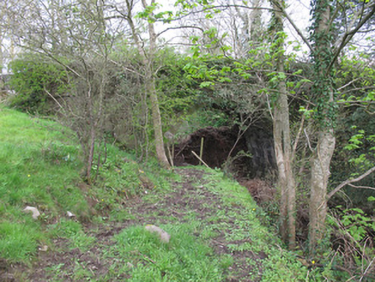 bridgebridge · 544 yd
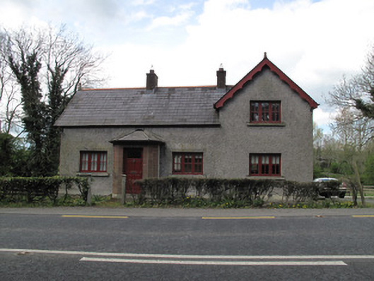 Bessmount Parkgate lodge · 620 yd
 IndicatedFairy fort / earthen ringfort · 897 yd
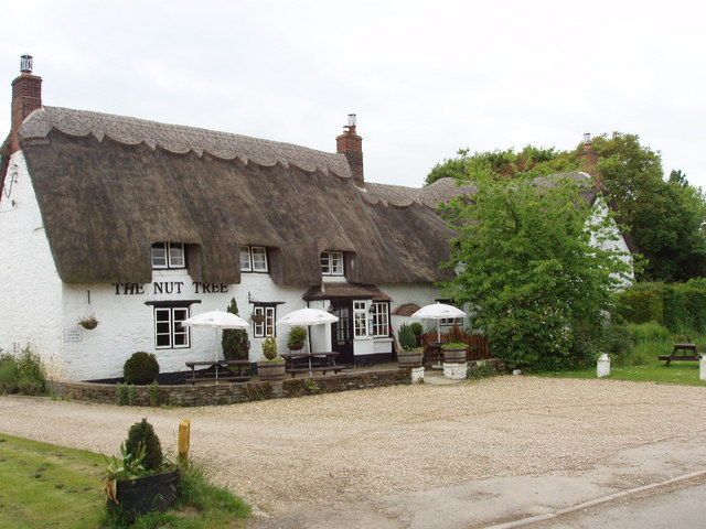 The Nut WoodForest · 936 yd
 Liscarney WoodWood · 1168 yd
 LiscarnFairy fort / earthen ringfort · 1244 yd
 Monaghan County MuseumMuseum · 1.8 mi
 Rossmore MonumentMemorial · 2.0 mi
 Bawn in Roosky (monaghan By., Monaghan Par.)Bawn · 2.0 mi
 Banba GiantHeritage attraction · 3.6 mi
 Castleshane WaterfallWaterfall · 3.7 mi
 Battle of ClontibretBattlefield · 6.0 mi