What is recorded here
Fairy forts are no such thing. They are human ringforts, and this one is no exception: a circular grass and rush-covered area defined by an overgrown earthen bank, with an external fosse surviving only from SE to W. The original entrance and causeway are at SSE. The bank rises higher to the north, reaching 3.4m, while the southern edge stands at 1.5m. Someone shaped that slope, dug that ditch, and left a place where people could stand together. The name changed later. The shape did not.
Located at the crest of the S-facing slope of a drumlin. This is a circular grass and rush-covered area (diam. 38.5m N-S; 38m E-W; int. diam. 33m N-S) defined by an overgrown earthen bank (Wth 4.6; int. H 0.8-1m; ext. H 1.5m at S to 3.4m at N), with an external fosse (at S: Wth of top 4.m; at base 1.6m; ext. D 1.1m) that only survives SE-W. The original entrance (Wth at base 1.8m) and causeway (H 0.5m) are at SSE.
The above description is derived from the published 'Archaeological Inventory of County Monaghan' (Dublin: Stationery Office, 1986). In certain instances the entries have been revised and updated in the light of recent research.
Date of revision: 28 June 2017
The monument record does not grant public access. Check the route and ask the landowner before entering private land.
- What survives
- Recorded monument
Places near here
 Horse-chestnutHorse-chestnut · 1325 yd
 Castle ruinsCastle, unclassified · 1570 yd
 Ice HouseArchaeological place · 1585 yd
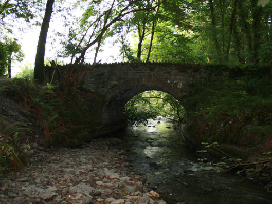 Sarah Bridgebridge · 1642 yd
 In Memory of Our DadMemorial · 1745 yd
 Natural Play AreaMemorial · 1.0 mi
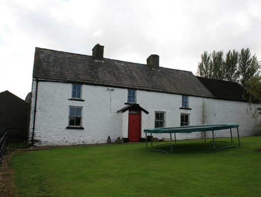 farm housefarm house · 1.1 mi
 Dún a Rí Forest ParkForest · 1.1 mi
 Chruch YardGraveyard · 1.2 mi
 Drumerlough MoreMountain / peak · 1.2 mi
 CabraMountain / peak · 1.2 mi
 Castle in ruinsCastle, unclassified · 2.8 mi