What is recorded here
No visible fort exists in Cruicerath today, though a hidden circular ditch and bank probably remain beneath the soil. It is not a fairy tale, but a human dwelling or defensive place lost under grass, fieldwork or forgetting. The region once supported enough people to build, reuse and abandon many such rings. Cruicerath may have contained one that no longer appears on ordinary maps.
Situated on a shelf on the E side of a hill. The cropmark of a circular enclosure (diam. c. 35m) defined by a single fosse feature E-S-NW is visible only on Apple Maps, which utilises a survey conducted by Bluesky International during June 2018. It was first reported by Anthony Murphy. A magnetic gradiometer survey (19R0174) by Earthsound Archaeological Geophysics recorded it independently, but it was not identified in subsequent targeted archaeological testing (19E0704) of an extensive area of about 17 hectares (c. 45 acres) by A. O’Connell (excavations.ie 2019:655).
O’Connell, A 2019 Archaeological Assessment of Platin Quarry Overburden Management Facility, Cruicerath, Duleek, Co. Meath. Licence: 19E0704. Final unpublished report, Archer Heritage Planning
See the attached enhanced image from Apple Maps
Compiled by: Michael Moore
Date of upload: 31 January 2020
Amended: 28 May 2021
The monument record does not grant public access. Check the route and ask the landowner before entering private land.
- What survives
- Recorded monument
Places near here
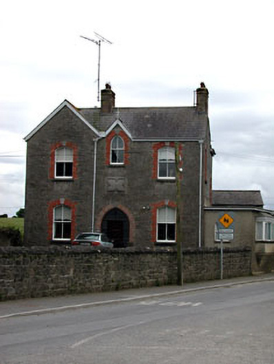 Catholic Church of the Nativity of Our Ladypresbytery/parochial/curate's house · 958 yd
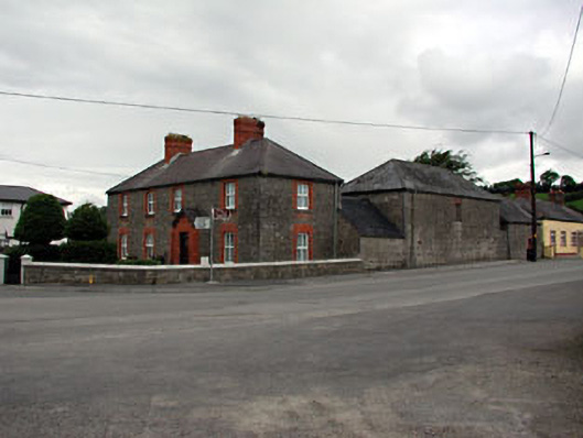 The Old Dispensaryhouse · 1025 yd
 Enclosure in CruicerathEnclosure · 1083 yd
 Platin HouseCastle, unclassified · 1437 yd
 Cross in PlatinCross · 1469 yd
 Glenmore ForestWood · 1.4 mi
 Brú na Bóinne Visitor Centre AccessHeritage attraction · 1.6 mi
 Brú na Bóinne Visitors CentreVisitor information · 1.7 mi
 CastleCastle, motte · 1.9 mi
 Newgrange Business ParkMemorial · 2.0 mi
 Boyne Currach CentreHeritage attraction · 2.0 mi
 Common LimeCommon Lime · 2.0 mi