What is recorded here
Crubany holds a faded fairy fort where a narrow break in the earthen bank still marks its entrance. The surrounding field has swallowed much of the fosse and smoothed part of the bank, yet the circular shape remains large enough to carry a small household, a passing trader or a child chasing balls across damp grass. What is missing has not stopped the place speaking; it has only changed the voice.
Raised circular area (int. dims. 20.8m NW-SE; 20.3m NNE-SSE) enclosed by a low earthen bank and a fosse. An earlier report (OPW 1974) described the fosse as being wide and shallow, and the bank as substantial. Fosse is now only identifiable from W-N-NNE. Elsewhere it has been infilled. Bank has been levelled from NNE-E. Perimeter has been incorporated into the field boundary from SSE-S-SSW. Narrow break in bank at NNW, with slight traces of a possible causeway, represents original entrance.
The above description is derived from the published 'Archaeological Inventory of County Cavan' (Dublin: Stationery Office, 1995). In certain instances the entries have been revised and updated in the light of recent research.
Date of upload/revision: 22 December 2008
The monument record does not grant public access. Check the route and ask the landowner before entering private land.
- What survives
- Recorded monument
Places near here
 RathcorickArchaeological place · 1236 yd
 Aghalackan WestMountain / peak · 1441 yd
 IndicatedFairy fort / earthen ringfort · 1496 yd
 Aghalackan EastMountain / peak · 1.2 mi
 Carricknagore RockNamed rock · 1.3 mi
 Bawn in MoynehallBawn · 1.4 mi
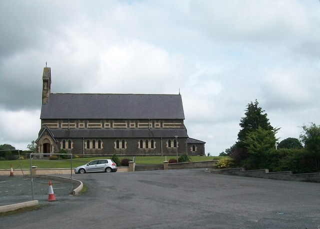 St Brigid's Roman Catholic Churchchurch/chapel · 1.7 mi
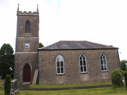 Denn Churchchurch/chapel · 1.7 mi
 CastleCastle, unclassified · 2.3 mi
 Owen Roe O'Neill graveMemorial · 2.5 mi
 GrottoWood · 2.5 mi
 Ardvarny ForestForest · 2.7 mi