What is recorded here
Situated at the NE edge of a low rise, in pasture, with wide views to N and E and overlooked by rising ground to S and W. Possible barrow (WM025-036----) lies c. 40m to N. Depicted on the revised 1913 ed. OS 25-inch map as a roughly circular-shaped earthwork. Monument described as a circular-shaped area enclosed by an inner bank, an intervening fosse and an outer bank with a gap at E which probably represents the entrance. The inner bank of earth and stone is steep on the exterior and is almost reduced to a scarp. It has several small disturbance gaps and is defaced at SE where it is intersected by a post-1700 field bank. The intervening fosse and outer bank are present from SE-S-W, yet are obscured from W-N-NNE by a modern earth and stone field fence and are absent from NNE-E-SE. The interior has traces of cultivation ridges running NNW-SSE and vague traces of four rectangular-shaped house sites (WM025-037003-). A Man-made underground passage (WM025-037002-) is located immediately outside the monument at ESE. A field system intersects the ringfort at NW, ENE and SE. Outline of monument clearly visible on oblique aerial photographs (CUCAP AOZ001/AYR012/017/018) taken 12/07/1966 and 11/07/1969 respectively.
See attached plan and profile of monument surveyed and drawn by the ASI.
Compiled by Alison McQueen, Vera Rahilly and Caimin O’Brien.
Date of upload: 05 September 2019
The monument record does not grant public access. Check the route and ask the landowner before entering private land.
- What survives
- Recorded monument
Places near here
 IndicatedFairy fort / earthen ringfort · 494 yd
 Site of CastleCastle, unclassified · 1163 yd
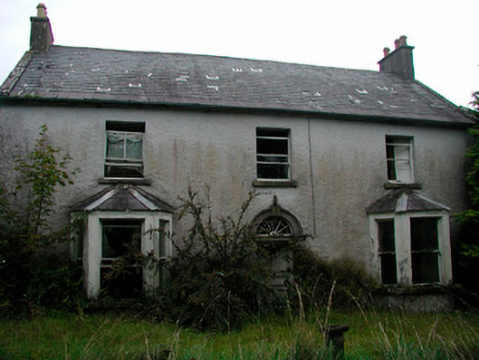 Churchtown Househouse · 1325 yd
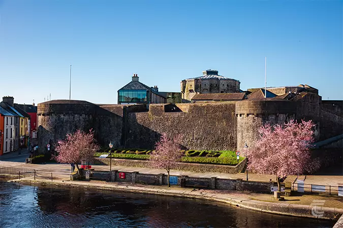 Oldtown CastleCastle · 1332 yd
 Balrath Lodgehouse · 1357 yd
 Ancient Ring FortWood · 1493 yd
 OutlinedFairy fort / earthen ringfort · 1498 yd
 Hill of UisneachMountain / peak · 2.3 mi
 European ashEuropean ash · 3.1 mi
 Srudarra IslandIslet · 6.9 mi
 Abbeyshrule AbbeyRuins · 8.7 mi
 Kilmalady HillMountain / peak · 8.8 mi