What is recorded here
Situated on the NE side of a ridge, in pasture, with extensive views to SE. A pond lies c. 80m to S. Monument described as a subcircular-shaped area (diam. 34m) enclosed by an earth and stone bank (approx. H 1-1.25m) with a gap (Wth at top 4.9m; basal Wth 2.5m) at NE which may represent the entrance. The enclosing bank has the remains of external drystone facing formed by large stones set on edge. A few formally set stones are also visible on the inner face of the bank. The bank has several fairly modern gaps made by livestock and appears to have been straightened to form a linear side at SW. There is no definite trace of an external fosse. The interior has a SE-facing slope with rock outcrop and traces of cultivation ridges running NW-SE. There is a low circular-shaped, round-topped mound (approx. diam. 4m; H 1m) of earth and stone in the centre, which may be recently deposited. A Man-made underground passage (WM025-007001-) is visible in the NW quadrant. An old field system of uncertain antiquity is visible in the fields to NE, E and SE.
Compiled by Alison McQueen, Vera Rahilly and Caimin O’Brien.
Date of upload: 03 September 2019
The monument record does not grant public access. Check the route and ask the landowner before entering private land.
- What survives
- Recorded monument
Places near here
 Site of CastleCastle, unclassified · 673 yd
 IndicatedFairy fort / earthen ringfort · 729 yd
 Balrath Lodgehouse · 1039 yd
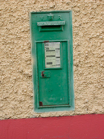 post boxpost box · 1270 yd
 Partially indicatedEcclesiastical enclosure · 1354 yd
 CastleCastle, unclassified · 1.1 mi
 Ancient Ring FortWood · 1.2 mi
 Hill of UisneachMountain / peak · 1.9 mi
 European ashEuropean ash · 2.8 mi
 KnockastiaMountain / peak · 6.1 mi
 Carrickphilbin IslandIslet · 6.7 mi
 Abbeyshrule AbbeyRuins · 8.2 mi