What is recorded here
Forty feet of raised earth still stand in Crosserule, though no entrance remains visible and the surrounding ditch has largely vanished. The fort appeared on early maps, then disappeared from later ones, as if the land itself forgot the boundary. It is the kind of place where ordinary measurement stops and imagination begins, a circular chamber waiting for the person reckless enough to enter without asking permission.
Marked 'Fort' on OS 1836 ed. Not marked on subsequent OS eds. Raised circular area (int. diam. c. 36m) defined by a steep scarp and enclosed by a low counterscarp bank and the remains of a fosse. Counterscarp bank identifiable only from SW-NW. Original entrance not recognisable.
The above description is derived from the published 'Archaeological Inventory of County Cavan' (Dublin: Stationery Office, 1995). In certain instances the entries have been revised and updated in the light of recent research.
Date of upload/revision: 22 December 2008
The monument record does not grant public access. Check the route and ask the landowner before entering private land.
- What survives
- Recorded monument
Places near here
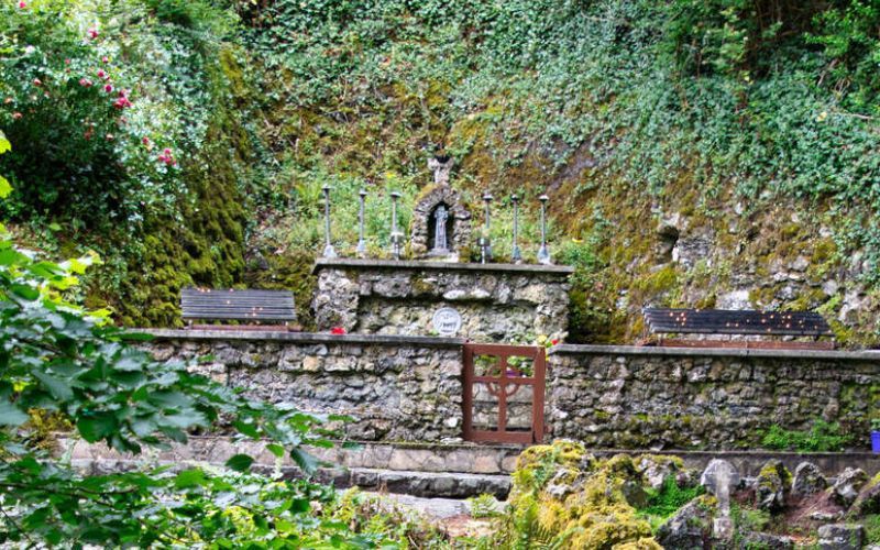 Holy WellHoly well · 831 yd
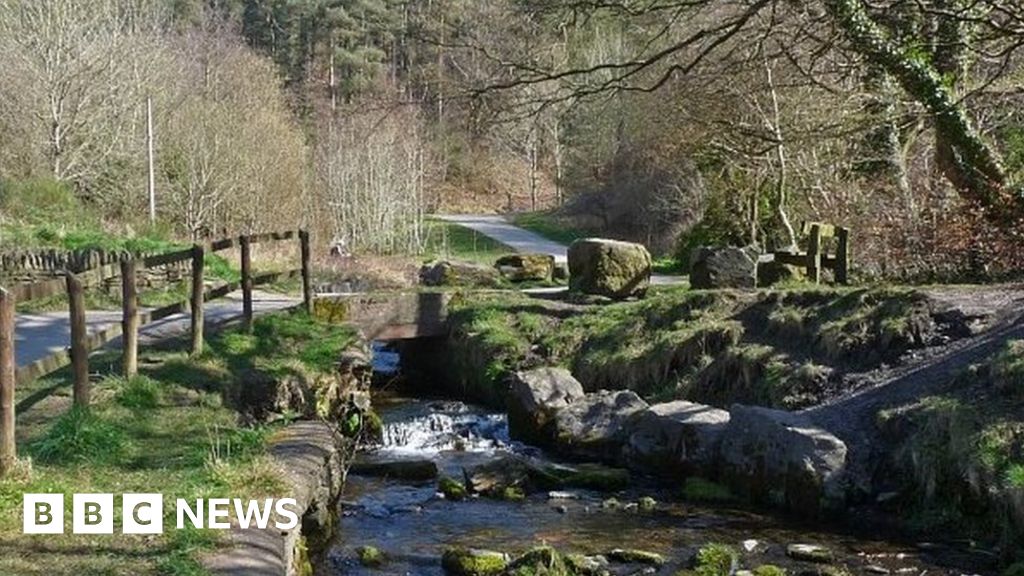 Carn ForestForest · 948 yd
 Rasuddan ForestForest · 1066 yd
 CarnMountain / peak · 1147 yd
 Aghalion HillMountain / peak · 1214 yd
 Peace BenchMemorial · 1713 yd
 Saint Joseph's ChurchMemorial · 1.3 mi
 St Joseph's Roman Catholic Churchchurch/chapel · 1.3 mi
 Christ Churchchurch/chapel · 1.3 mi
 The GPO ExhibitionMuseum · 1.3 mi
 Reflective SpaceMonument · 1.3 mi
 Cornahilt ForestWood · 1.1 mi