What is recorded here
Situated on a low N-S ridge. The parch mark of a subcircular enclosure (int. dims c. 40m NNE-SSW; c. 28m WNW-SE: ext. dims c. 65m NNE-SSW; c. 45m WNW-ESE) is visible on Google Earth (14/07/2018). It is defined by the parch mark of an earthen bank with fosses inside and outside that are only traceable NE-S-NNW. It was first reported by Simon Dowling.
See the attached enhanced view from Google Earth
Compiled by: Michael Moore
Date of upload; 28 February 2020
The monument record does not grant public access. Check the route and ask the landowner before entering private land.
- What survives
- Recorded monument
Places near here
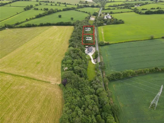 Fulacht fia in ParkbaunFulacht fia · 594 yd
 Burnt spread in BoleybaunBurnt spread · 630 yd
 Water millWater mill, horizontal-wheeled · 958 yd
 post boxpost box · 1265 yd
 Curragh WoodWood · 1.5 mi
 CastleCastle, unclassified · 1.6 mi
 Tara HillMountain / peak · 2.0 mi
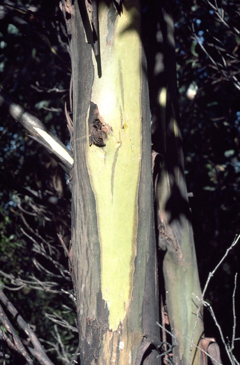 Johnston's gumJohnston's gum · 2.3 mi
 Laraheen HillMountain / peak · 3.5 mi
 Kia Ora Mini FarmHeritage attraction · 3.5 mi
 Market HouseHeritage attraction · 4.3 mi
 Duffcarrig Rocks BeachBeach / strand · 4.5 mi