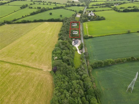
What is recorded here
Situated in the valley of a SW-NE stream, just W of where it is joined by a smaller S-N stream. It was excavated (E3504) as site 46 during 2005 in advance of the building of the N11 Arklow - Gorey bypass. A silt wash from the stream overlay a spread of broken and burnt stone (dims. 11.5m x 4m) which in turn overlay a subrectangular trough (dims. 1.3m x 1.1m; D 0.3m) cut into a number of silt deposits. Three pieces of worked wood had been truncated by the trough. Fulacht fia (WX006-044001-) is c. 5m to the W. (Martin 2008, 407)
Compiled by: Michael Moore
Date of upload: 14 February, 2012
The monument record does not grant public access. Check the route and ask the landowner before entering private land.
- What survives
- Recorded monument
Places near here
 Burnt spread in BoleybaunBurnt spread · 45 yd
 Water millWater mill, horizontal-wheeled · 570 yd
 monumentmonument · 884 yd
 Enclosure in Ballywilliam (gorey By.)Enclosure · 1348 yd
 Curragh WoodWood · 1.1 mi
 CastleCastle, unclassified · 1.9 mi
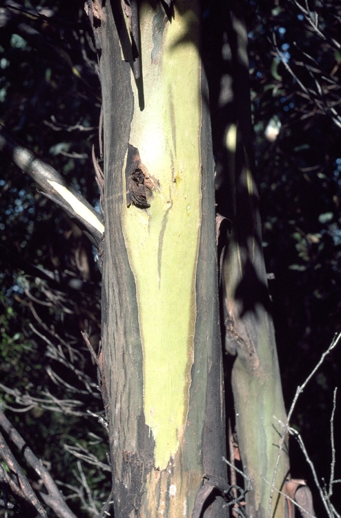 Johnston's gumJohnston's gum · 2.1 mi
 Tara HillMountain / peak · 2.2 mi
 Laraheen HillMountain / peak · 3.2 mi
 Kia Ora Mini FarmHeritage attraction · 3.6 mi
 White Heaps 1798Memorial · 4.3 mi
 Market HouseHeritage attraction · 4.3 mi
Other information
Photo: Credit not shown in the picture search · Rights wording not checked; contact us if this picture should be removed