What is recorded here
Fairy fort / earthen ringfort in Crohane (carbery East (e.d.) By., Kilnagross Par.) stands in pasture on a south-facing slope. It appeared as a circular enclosure on the 1842 OS map but leaves no visible surface trace today. That absence does not diminish it; it suggests the land kept its shape long enough to be seen, recorded and forgotten. A ringfort marked once may have housed people, excluded strangers or simply given a boundary to ordinary life.
In pasture, on S-facing slope. Marked as circular enclosure on OS 6-inch map (1842). No visible surface trace.
The above description is derived from the published 'Archaeological Inventory of County Cork. Volume 1: West Cork' (Dublin: Stationery Office, 1992). In certain instances the entries have been revised and updated in the light of recent research.
Date of upload/revision: 14 January 2009
The monument record does not grant public access. Check the route and ask the landowner before entering private land.
- What survives
- Recorded monument
Places near here
 CrusheennalannivBurial ground · 465 yd
 Water millWater mill, horizontal-wheeled · 1438 yd
 Garraneishal FortArchaeological place · 1.3 mi
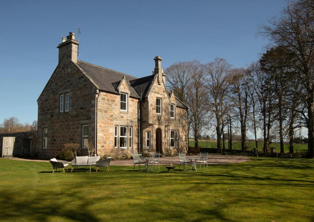 Country house in Letter (carbery East (w.d) By.)Country house · 1.5 mi
 Battle of the Big Cross (1798) Memorial MonumentMonument · 2.1 mi
 Castle DerryCastle · 2.3 mi
 Corran HillMountain / peak · 2.7 mi
 Fahanacowley Castle (Site of)Castle, unclassified · 2.8 mi
 The GlenWood · 3.2 mi
 Clonakilty Tourist OfficeVisitor information · 3.7 mi
 Tobar MacloonaboySpring · 3.7 mi
 Cloch na gCoillteMemorial · 3.7 mi