What is recorded here
Crohane holds a two-metre earthen ring on a south-facing slope, its inner stones still visible beneath pasture grass. The fort kept its shape through centuries of rain and forgetting, while local memory renamed it a fairy fort because people stopped understanding what it was for. Its southeast gap faces the valley like an invitation, and the raised interior suggests someone valued a dry floor when the land around became wet.
In pasture, on break in S-facing slope. Circular area (27m N-S; 26m E-W) enclosed by heavily overgrown, earthen bank (H 2.1m); external fosse (D 0.9m). Counterscarp bank (H 0.5m). Bank stone faced internally S->ENE. Gap to SE (Wth 2m). Interior raised on downslope.
The above description is derived from the published 'Archaeological Inventory of County Cork. Volume 1: West Cork' (Dublin: Stationery Office, 1992). In certain instances the entries have been revised and updated in the light of recent research.
Date of upload/revision: 14 January 2009
The monument record does not grant public access. Check the route and ask the landowner before entering private land.
- What survives
- Recorded monument
Places near here
 CrusheennalannivBurial ground · 888 yd
 Water millWater mill, horizontal-wheeled · 1249 yd
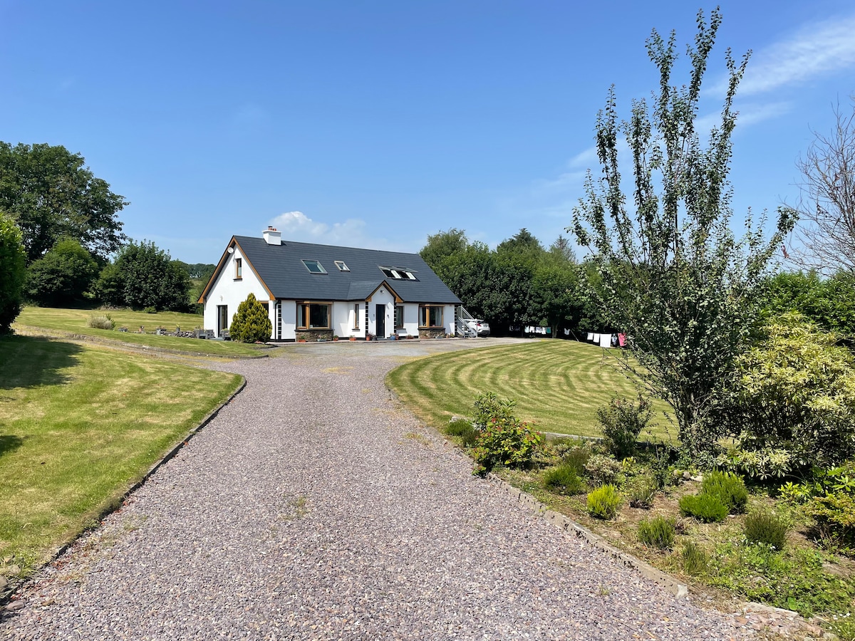 CrusheenlinnivBurial ground · 1.3 mi
 Country house in MadameCountry house · 1.6 mi
 Castle DerryCastle · 2.1 mi
 Battle of the Big Cross (1798) Memorial MonumentMonument · 2.1 mi
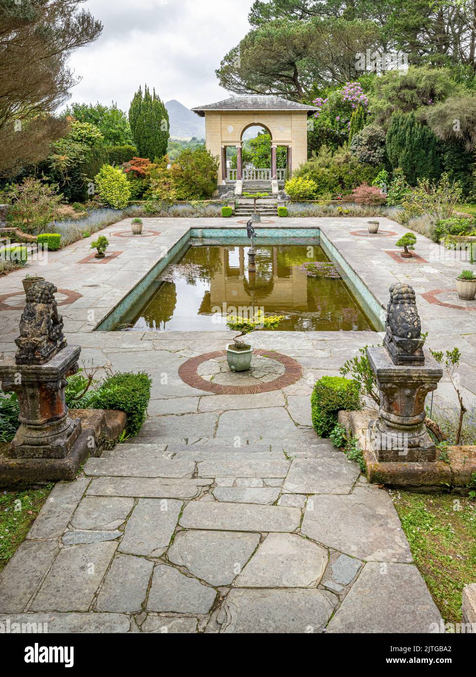 Garden WoodWood · 2.7 mi
 Corran HillMountain / peak · 2.8 mi
 The GlenWood · 3.1 mi
 Fahanacowley Castle (Site of)Castle, unclassified · 3.2 mi
 Tobar MacloonaboySpring · 3.2 mi
 Clonakilty Tourist OfficeVisitor information · 3.9 mi