What is recorded here
No visible mound remains at Croaghnacree, only a shadow in the soil where a bank and ditch once cut the field. That absence does not diminish the place; it reveals the fort as a memory the land still holds. People may have lived there, lost the walls to rain and time, then invented fairy origins because the emptiness refused explanation. The region still contains other ringforts nearby, proving this was not a lonely fantasy but a settled landscape.
Cropmark of bank and external fosse of circular enclosure visible in aerial photograph (GSIAP, R524). Second possible ringfort (CO025-032---) in same field c. 100m to E; ringfort (CO025-031---) in adjoining field to N.
The above description is derived from the published 'Archaeological Inventory of County Cork. Volume 4: North Cork' (Dublin: Stationery Office, 2000). In certain instances the entries have been revised and updated in the light of recent research.
Date of upload/revision: 14 January 2009
The monument record does not grant public access. Check the route and ask the landowner before entering private land.
- What survives
- Recorded monument
Places near here
 Saffronhill Cottagecountry house · 249 yd
 Scots PineScots Pine · 304 yd
 ToberasoolHoly well · 552 yd
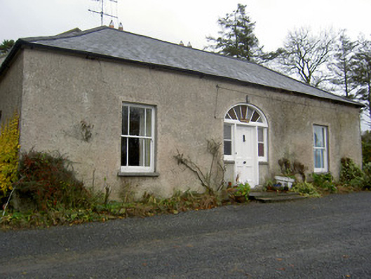 Hermitagehouse · 880 yd
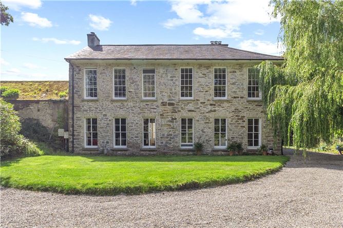 Enclosure in Annakisha NorthEnclosure · 902 yd
 European YewEuropean Yew · 1307 yd
 Doneraile HouseHeritage attraction · 1473 yd
 Doneraile Castle (Site of)Castle, unclassified · 1.1 mi
 Smith's WellSpring · 1.5 mi
 CastleCastle, unclassified · 2.3 mi
 Anne's Grove GardensHeritage attraction · 4.9 mi
 In loving memory of Elvis O'DonoghueMemorial · 5.9 mi