What is recorded here
Half a kilometre of grassland holds a subcircular rath sixty-two metres wide, its outer bank still standing beside a small lake in Croaghill. A road now cuts through the northern edge, but the scarp, fosse and possible southeast entrance remain visible enough to walk the shape of a lost dwelling. People may have lived there, watched weather come off the water and kept what they could from the season. The fairies, according to local story, took the rest and kept the fort for themselves.
On a rise in grassland overlooking a small lake to SW. Subcircular rath (E-W 62m, N-S 44m), in fair condition, defined by a scarp, intervening fosse and outer bank. Possible entrance at SE. An irregular hollow in N part of interior appears modern. A road cuts through the outer bank at N.
The above description is derived from the published 'Archaeological Inventory of County Galway Vol. II - North Galway'. Compiled by Olive Alcock, Kathy de hÓra and Paul Gosling (Dublin: Stationery Office, 1999).
Date of upload: 05 August 2010
The monument record does not grant public access. Check the route and ask the landowner before entering private land.
- What survives
- Recorded monument
Places near here
 R.C. ChapelChapel · 1.4 mi
 Enclosure in CorraloughEnclosure · 1.4 mi
 Church in Kilbeg (ballymoe By.)Church · 1.5 mi
 IndicatedFairy fort / earthen ringfort · 1.6 mi
 CastleCastle, unclassified · 2.5 mi
 Castle (in ruins)Castle, unclassified · 3.6 mi
 Rook HillMountain / peak · 3.8 mi
 Slieve DartMountain / peak · 4.0 mi
 Coolougher WoodForest · 4.9 mi
 Site of Killomaine Grave YardArchaeological place · 7.3 mi
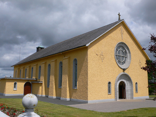 Saint Therese's Catholic Churchchurch/chapel · 1.6 mi
 Lisheen FortFairy fort / earthen ringfort · 1.7 mi