What is recorded here
Fairy fort in Croagh, County Limerick: a broken earthen ring, twenty-seven metres wide before the field cut it into a D-shape. Its shallow bank and narrow ditch still mark the east and south, while briars swallow the west half and cattle graze the remaining floor. The shape suggests a small fortified dwelling or boundary marker, yet the fairy name implies people also saw it as a threshold between the ordinary field and something older.
In pasture, on gentle E-facing slope. Formerly embanked circular enclosure (diam. 27m N-S) has been truncated on W side by N-S field boundary, creating D-shaped enclosure (23m E-W). Enclosing earthen bank (int. H 0.1m; ext. H 0.35m) survives NNW->SW, with external fosse (D 0.2m; Wth 2.3m) NNE->SE; fosse is truncated on S side by dry-stone field wall (axis E-W). West half of interior, and enclosing element SE->NW, are covered by dense overgrowth of briars and bushes. Otherwise level interior is under pasture.
Compiled by: Denis Power
Date of upload: 26 August 2011
The monument record does not grant public access. Check the route and ask the landowner before entering private land.
- What survives
- Recorded monument
Places near here
 Flat cemetery in CroaghFlat cemetery · 438 yd
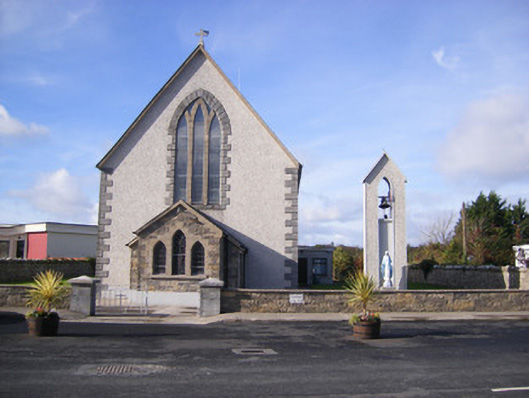 Catholic Church of Saint John the Baptistchurch/chapel · 1111 yd
 Grave YardGraveyard · 1140 yd
 Castle (in ruins)Castle, unclassified · 1142 yd
 Church (in Rns)Church · 1149 yd
 Fulacht fia in AdamswoodFulacht fia · 1177 yd
 Cappagh CastleCastle · 1.2 mi
 Flat cemetery in Kiltenan SouthFlat cemetery · 2.3 mi
 Little HeavenHeritage attraction · 3.4 mi
 Curraghchase Forest ParkForest · 4.0 mi
 TobernablahySpring · 4.4 mi
 GinkgoGinkgo · 4.5 mi