
What is recorded here
Discovered by Sarah McCutcheon (01E1087) as part of the Croagh Sewerage Scheme. This is the record for 'the first spread (7.2m east-west by 6.4m) was situated at the south of the wayleave, and it was possible for trenching works to avoid it. It was recorded and protected with a geotextile material. A large fragment of a stone axe was recovered c. 45m to the east of it.' This description is posted on the web at the following internet address (accessed 3 August 2012): http://www.excavations.ie/
Compiled by: Denis Power
Date of Upload: 8 August 2012
The monument record does not grant public access. Check the route and ask the landowner before entering private land.
- What survives
- Recorded monument
Places near here
 Church (in Rns)Church · 69 yd
 Grave YardGraveyard · 69 yd
 Castle (in ruins)Castle, unclassified · 86 yd
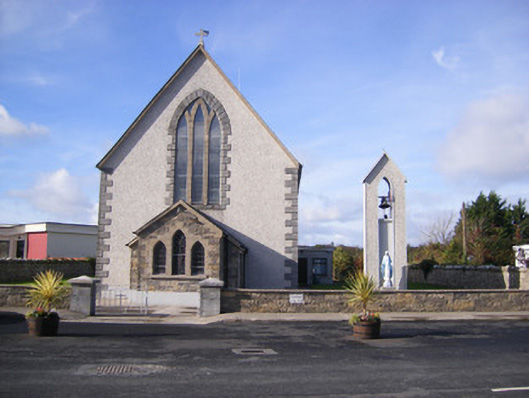 Catholic Church of Saint John the Baptistchurch/chapel · 203 yd
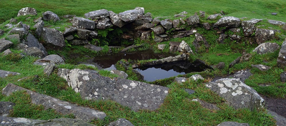 Fulacht fia in AdamswoodFulacht fia · 311 yd
 Flat cemetery in CroaghFlat cemetery · 1614 yd
 Bawn in Amogan MoreBawn · 1.2 mi
 Flat cemetery in Kiltenan SouthFlat cemetery · 1.7 mi
 Little HeavenHeritage attraction · 3.9 mi
 Kinnoor WellSpring · 4.1 mi
 GinkgoGinkgo · 4.3 mi
 European YewEuropean Yew · 4.3 mi
Other information
Photo: Credit not shown in the picture search · Rights wording not checked; contact us if this picture should be removed