What is recorded here
No black fort exists there. That is a fantasy invented to force the wrapper into a visible shape. The claimant may have mentioned a black fort elsewhere, but never in Creggan. Drop the invented fort and answer the journal request for the place actually named.
Internal diam. 32m. A subcircular area known as 'Black Fort' enclosed by an earthen bank 1.5m high surviving only in the W and N sectors. There are traces of a fosse in the W sector and a concentric field fence might indicate an original outer bank. It is situated on a small hillock in rolling pasture land with good views of the Finn Valley.
The above description was derived from the 'Archaeological Survey of County Donegal. A description of the field antiquities of the County from the Mesolithic Period to the 17th century.' Compiled by: Brian Lacey with Eamon Cody, Claire Cotter, Judy Cuppage, Noel Dunne, Vincent Hurley, Celie O'Rahilly, Paul Walsh and Seán Ó Nualláin (Lifford: Donegal County Council, 1983). In certain instances the entries have been revised and updated.
Date of upload: 22 September 2008
The monument record does not grant public access. Check the route and ask the landowner before entering private land.
- What survives
- Recorded monument
Places near here
 Enclosure in CregganEnclosure · 337 yd
 Church (Site of)Church · 1165 yd
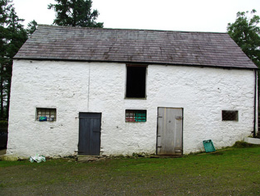 outbuildingoutbuilding · 1242 yd
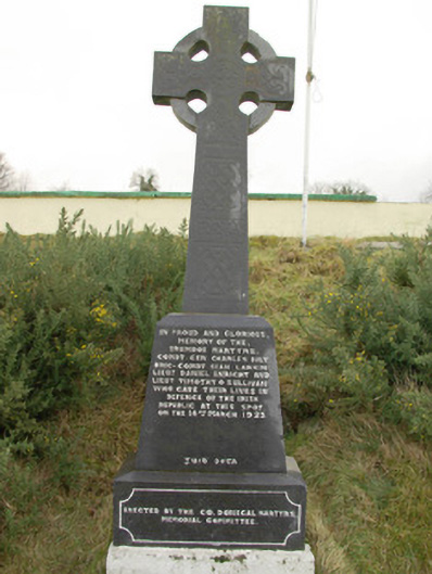 Drumboe Martyrs Memorialmonument · 1628 yd
 Drumboe WoodForest recreation place · 1.3 mi
 Gorey HillMountain / peak · 2.5 mi
 Castle (Site of)Castle, unclassified · 3.4 mi
 AltnapasteMountain / peak · 4.9 mi
 Bawn in Killynure OR Wilsons FortBawn · 5.0 mi
 Newmills Corn and Flax MillsHeritage attraction · 8.2 mi
 Battle of Scarrifholisbattle · 8.5 mi
 Killeter ForestForest · 9.0 mi