What is recorded here
Half-buried in a coniferous forest on a drumlin slope, the oval bank still casts a shadow across the moss. People called it a fairy fort because the entrance vanished and the inside filled with young trees, but the stone facing proves human hands shaped the circle. Maybe the fairies only inherited what the forgetful world stopped naming.
Located towards the top of the S-facing slope of a drumlin in a coniferous forest. This is an oval area (dims 31m E-W; 25m E-W) defined by an earthen bank (Wth 8m; max. H 1.2m) with internal stone facing which survives NW-NE. The bank is reduced to a scarp (H 0.7-1m) elsewhere and there is an external fosse (Wth of top 5-6.4m; Wth of base 3-4m; D 0.2m S-W to 0.5-1m W-N). The original entrance is not identified and the interior was planted in young coniferous trees c. 1988. The rath (LE025-027---) is c. 50m to the N.
The above description is derived from 'The Archaeological Inventory of County Leitrim' compiled by Michael J. Moore (Dublin: Stationery Office, 2003). In certain instances the entries have been revised and updated in the light of recent research.
Date of revised upload: 26 January 2017
The monument record does not grant public access. Check the route and ask the landowner before entering private land.
- What survives
- Recorded monument
Places near here
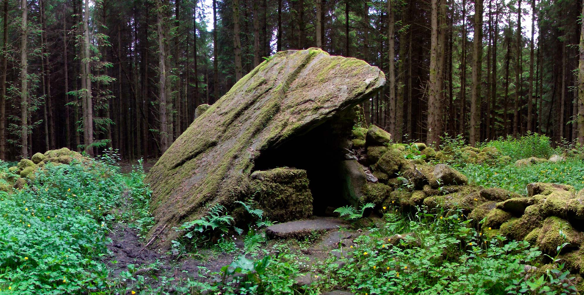 Druid's AltarArchaeological place · 1383 yd
 Turf IslandIsland · 1.1 mi
 Buck IslandIsland · 1.1 mi
 Fairy fort / ringfort in AghavaddenFairy fort / ringfort · 1.2 mi
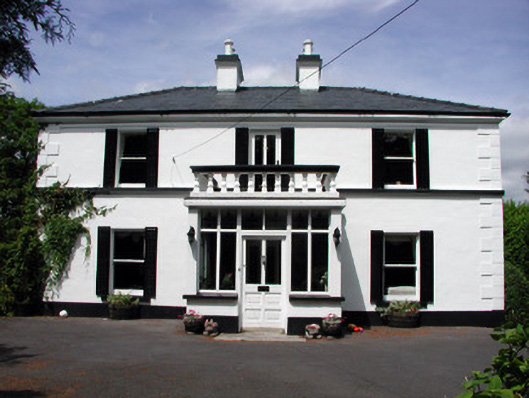 Curranmount Househouse · 1.3 mi
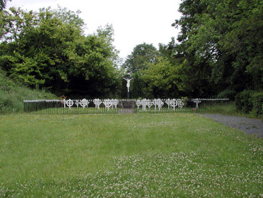 Convent of Mercygraveyard/cemetery · 1.5 mi
 DrumbadMountain / peak · 2.0 mi
 CastleCastle, tower house · 2.1 mi
 Cromlin Bridge WoodWood · 2.5 mi
 European ashEuropean ash · 2.8 mi
 CastleforeCastle, tower house · 2.9 mi
 DrumgownaghMountain / peak · 3.8 mi