What is recorded here
Crawfords Fort in Creevy is a ruined circular earthwork spanning thirty-eight metres, marked on old maps but now half-swallowed by pasture and modern fences. Its worn banks hide internal ridges that may be forgotten rooms or simple soil shifts, while a rectangular depression on the west suggests a collapsed underground passage. The fort sits on a rising shoulder above the Erne Estuary, holding the shape of human defiance against time even as the land reclaims it.
Internal diam. c. 38m. A badly destroyed multivallate circular enclosure marked 'Crawfords Fort' on OS 6-inch maps. Modern fences obscure its plan on the E and NE sides. The banks are badly worn away. Internally there are numerous ridges and hollows, some of which are probably modern but others may be the remains of internal structures. A rectangular depression in the W side seems to be a collapsed Man-made underground passage (DG107-036002-). It is situated on a shoulder of rising ground to the N of the Erne Estuary in rough pasture land.
The above description was derived from the 'Archaeological Survey of County Donegal. A description of the field antiquities of the County from the Mesolithic Period to the 17th century.' Compiled by: Brian Lacey with Eamon Cody, Claire Cotter, Judy Cuppage, Noel Dunne, Vincent Hurley, Celie O'Rahilly, Paul Walsh and Seán Ó Nualláin (Lifford: Donegal County Council, 1983). In certain instances the entries have been revised and updated.
Date of upload: 22 September 2008
The monument record does not grant public access. Check the route and ask the landowner before entering private land.
- What survives
- Recorded monument
Places near here
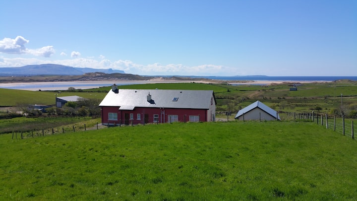 Enclosure in BallymacawardEnclosure · 715 yd
 bridgebridge · 804 yd
 Creevy Stone Ringfort and Man-made underground passage near KilbarronFairy fort / stone ringfort · 901 yd
 Kilbarron Old Church GraveyardGraveyard · 1565 yd
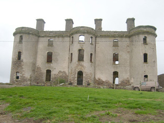 Wardstown Housecountry house · 1614 yd
 Wardtown StrandBeach / strand · 1.3 mi
 Dark Cliffs at KilbarronPublicly named cliff or headland · 1.4 mi
 Kilbarron Castle in ruinsCastle, tower house · 1.4 mi
 St Anne's Church GraveyardGraveyard · 1.7 mi
 Tullan StrandBeach / strand · 1.8 mi
 CastleCastle, unclassified · 1.9 mi
 RossnowlaghOfficial bathing water · 2.1 mi