What is recorded here
Fairy fort in Creeves, County Limerick: a 30 m earthen-and-stone ring on low limestone pasture, its bank still standing about a metre high on the north-east and chewed flat where cattle walk. Inside, scrub hides a rough stone mound no larger than a cartwheel, the kind of marker people might have set before leaving a field they loved. The fairies, if they ever lived there, would have preferred the quiet western side, where the bank keeps its shape and the grass grows thick enough to hide their footsteps.
In rough low-lying pasture, in area of outcropping limestone. Circular area (diam. 30m) enclosed by earth-and-stone bank (int. H 0.4m; ext. H 1.05m) best preserved WNW->NNE. Bank, masked by vegetation overgrowth S->WNW and NE->E, is eroded by cattle E->SE (int. H 0.2m; ext. H 0.7m). Bank partially quarried out at SE where crescent shaped area (Wth 11m) extends into interior for c. 8m. Interior, covered by scrub vegetation, has roughly circular mound of stones near centre (5m N-S; 4.9m E-W; H 0.4m). A stony bank (H 0.5m) abuts enclosure at NNE and extends 20m to NNE before fading out.
Compiled by: Denis Power
Date of upload: 26 August 2011
The monument record does not grant public access. Check the route and ask the landowner before entering private land.
- What survives
- Recorded monument
Places near here
 Fulacht fia in Creeves (connello Lower By.)Fulacht fia · 441 yd
 IndicatedEnclosure · 545 yd
 post boxpost box · 762 yd
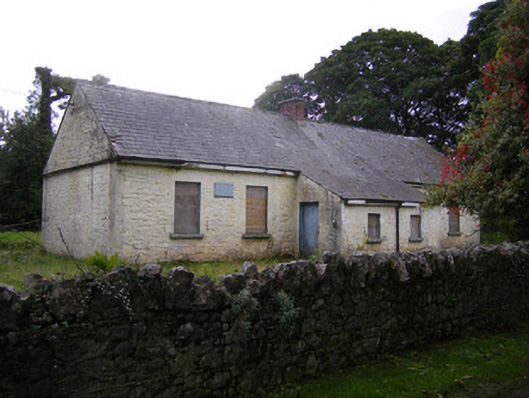 Nutgrove National Schoolschool · 932 yd
 Lismakeery Castle (in ruins)Castle, tower house · 1.4 mi
 CastleCastle, unclassified · 1.5 mi
 Askeaton CastleHeritage attraction · 3.2 mi
 St. Kieran's WellSpring · 3.6 mi
 Holly IslandIslet · 3.7 mi
 TobernablahySpring · 3.7 mi
 Foynes Flying Boat & Maritime MuseumMuseum · 4.8 mi
 Gammarel PointHeadland · 4.9 mi