What is recorded here
Marianne and her mother arrived at Creeve on a warm Saturday, walking the drumlin ridge until the grass lightened into a faint oval band. They circled the hidden fort, touching cool soil and wondering whether children had played inside before adults stopped believing the boundary was real. Marianne placed her palm on the spud-stone, imagining a mill axle turning above it while her mother listened for the sound never lost, only waiting for someone young enough to hear it.
Situated on the brow of a NE-SW drumlin ridge. This is a subcircular or oval grass-covered area (ext. dims 37m ENE-WSW; 31.5m NNW-SSE) defined by traces of a leveled earthen bank visible as a band of lighter growth (Wth c. 4.5m). There is no evidence of a fosse or of an original entrance. There is a small spud-stone or mill axle stone (diam. 04m; H 0.2m) with a central hollow (diam. 7cm; D 6cm) at the monument.
The above description is derived from the published 'Archaeological Inventory of County Monaghan' (Dublin: Stationery Office, 1986). In certain instances the entries have been revised and updated in the light of recent research.
Compiled by: Michael Moore
Date of revised upload: 22 June 2016
The monument record does not grant public access. Check the route and ask the landowner before entering private land.
- What survives
- Recorded monument
Places near here
 IndicatedEnclosure · 835 yd
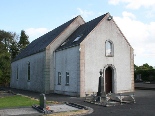 Clontibret First Presbyterian Churchchurch/chapel · 1049 yd
 Castleshane WaterfallWaterfall · 1454 yd
 Man-made underground passage in Moy OtraMan-made underground passage · 1533 yd
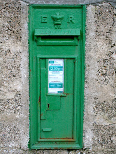 post boxpost box · 1702 yd
 Battle of ClontibretBattlefield · 1.9 mi
 Caldwells' WoodWood · 3.5 mi
 Liscarney WoodWood · 3.8 mi
 Bawn in Roosky (monaghan By., Monaghan Par.)Bawn · 4.2 mi
 Rossmore MonumentMemorial · 4.2 mi
 Monaghan County MuseumMuseum · 4.3 mi
 Ailinn GiantHeritage attraction · 4.9 mi