What is recorded here
Fairy fort / earthen ringfort in Creeve (clonlonan By.) is a fairy fort or earthen ringfort in Creeve (clonlonan By.), County Westmeath, Ireland. Situated on a rise in pasture with good views of the surrounding landscape, the site was depicted on the revised 1910 edition Ordnance Survey twenty-five-inch map as an oval-shaped earthwork. A 1973 description recorded it as a roughly circular area with a diameter of thirty-nine metres, defined by a low scarp and traces of an external fosse, while a 1979 account noted it was levelled and defined by an irregular band of stony earth from southwest through west to north and northeast. The monument is visible today as a subcircular-shaped cropmark on Ordnance Survey Ireland aerial photography.
Situated on a rise, in pasture, with good views of the surrounding landscape. Depicted on the revised 1910 ed. OS 25-inch map as an oval-shaped earthwork. Monument described in 1973 as a roughly circular-shaped area (diam. 39m) defined by a low scarp and traces of an external fosse. A field boundary running N-S crosses the monument at E. The earthwork is defined by a public road running ENE-WSW across the S sector. The interior has a gentle S-facing slope and the remains of old cultivation ridges running E-W. Monument described in 1979 as levelled and now defined by an irregular band of stony earth from SW-W-N-NE, which appears to represent the line of the perimeter. Monument is visible today as a subcircular-shaped cropmark on OSi aerial photography.
Compiled by Alison McQueen, Vera Rahilly and Caimin O’Brien.
Date of upload: 07 November 2019
The monument record does not grant public access. Check the route and ask the landowner before entering private land.
- What survives
- Recorded monument
Places near here
 Creeve CastleCastle, tower house · 767 yd
 OutlinedEnclosure · 791 yd
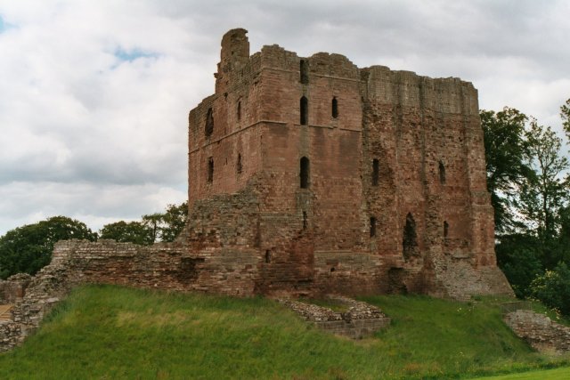 Partially hachuredFairy fort / earthen ringfort · 1204 yd
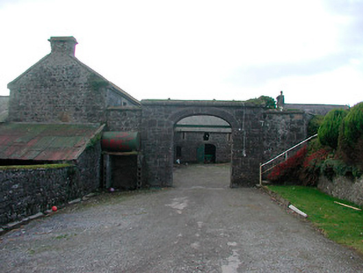 Dorrington Housefarmyard complex · 1.2 mi
 farm housefarm house · 1.3 mi
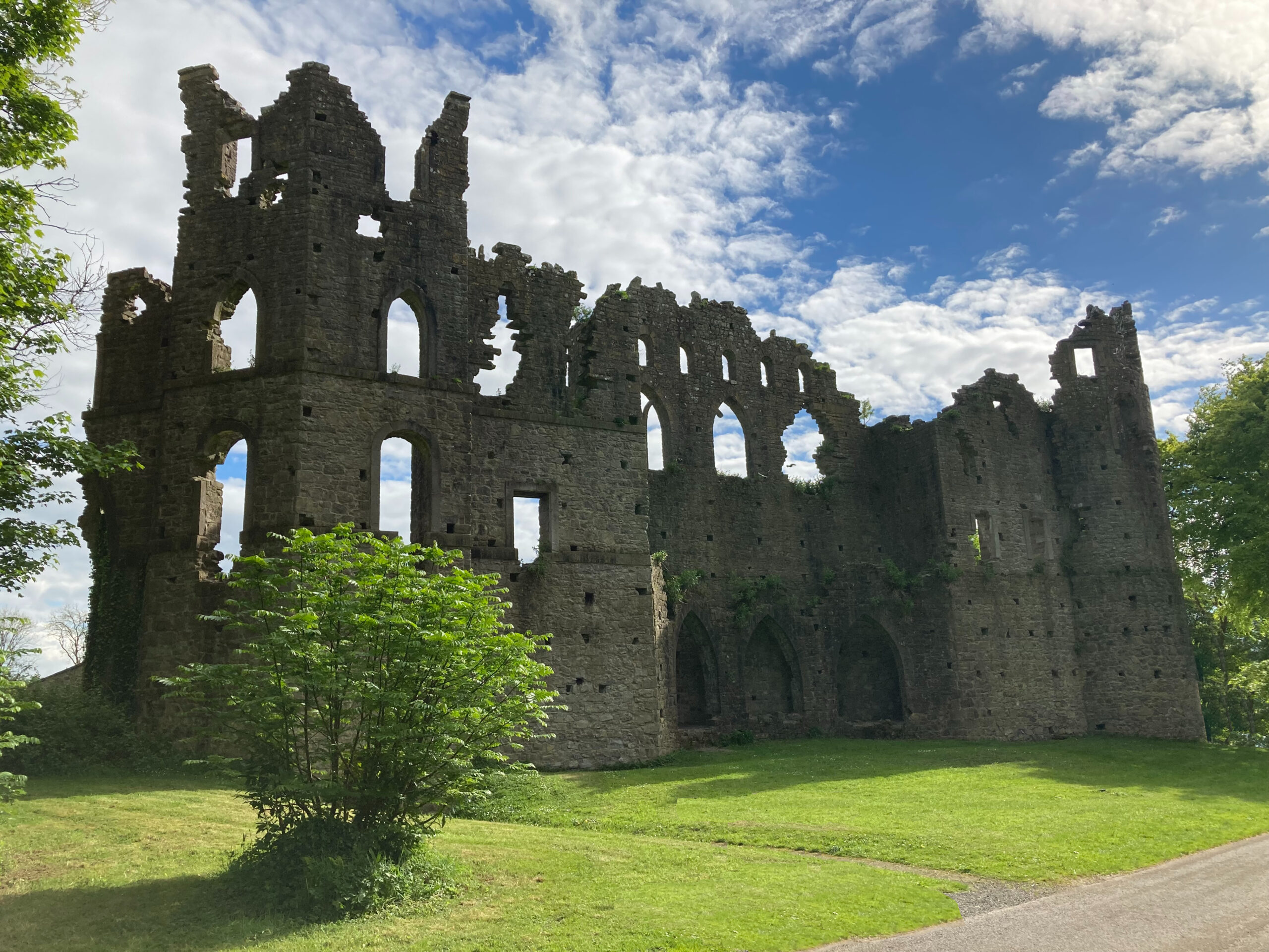 Sterns Folly, The BreenCastle, ringwork · 1.3 mi
 Dún na Sí Heritage CentreMuseum · 4.0 mi
 Dún na SíMuseum · 4.0 mi
 Temple's IslandIslet · 4.1 mi
 Killinure BayBay · 4.3 mi
 Charles BianconiMemorial · 4.7 mi